Grand South America Adventure

Itinerary: Miami, Florida, At Sea, Charlotte Amalie, Tortola, Philipsburg, Gustavia, Basseterre, Saint Kitts, Saint John's, Roseau, Fort-de-France, Castries, Bridgetown, Kingstown, Saint George's, Devil's Island... See full itinerary

27 Oct 28
71 nights

Voyage Details

Duration:
71 nights
Departure:
27 Oct 2028
Embarkation:
Miami, Florida, United States
Cruise code:
ARL281027D
Voyage code:
ARL281027D

Your Itinerary, Day-By-Day

Special Chapters of Your Journey

Day 1 - Miami, Florida

Miami is one of the world’s most popular holiday spots. It has so much to offer; from its countless beach areas, to culture and museums, from spa and shopping days out, to endless cuban restaurants and cafes. Miami is a multicultural city that has something to offer to everyone.

Usmia   Miami   High Rise Buildings Near Sea  Ryan Parker
Usmia Miami High Rise Buildings Near Sea Ryan Parker Photograph by Ryan Parker
Usmia   Miami   Miami Beach  Joel De Vriend
Usmia Miami Miami Beach Joel De Vriend Photograph by Joel de Vriend
Usmia   Miami   South Beach  Joel De Vriend
Usmia Miami South Beach Joel De Vriend Photograph by Joel de Vriend
Usmia   Miami   South Beach  Julien Borean
Usmia Miami South Beach Julien Borean Photograph by Julien Borean
Usmia   Miami   South Beach  Tuan Nguyen
Usmia Miami South Beach Tuan Nguyen Photograph by Tuan Nguyen
Usmia   Miami   The Confident Hotel  Kelly Russo
Usmia Miami The Confident Hotel Kelly Russo Photograph by Kelly Russo

Day 2 - At Sea

Further details for this day are not available.

Day 3 - At Sea

Further details for this day are not available.

Day 4 - Charlotte Amalie

Further details for this day are not available.

Vicha   Charlotte Amalie, U.S. Virgin Islands   Photo Credit Belongs To Andy Feliciotti
Vicha Charlotte Amalie, U.S. Virgin Islands Photo Credit Belongs To Andy Feliciotti

Day 5 - Tortola

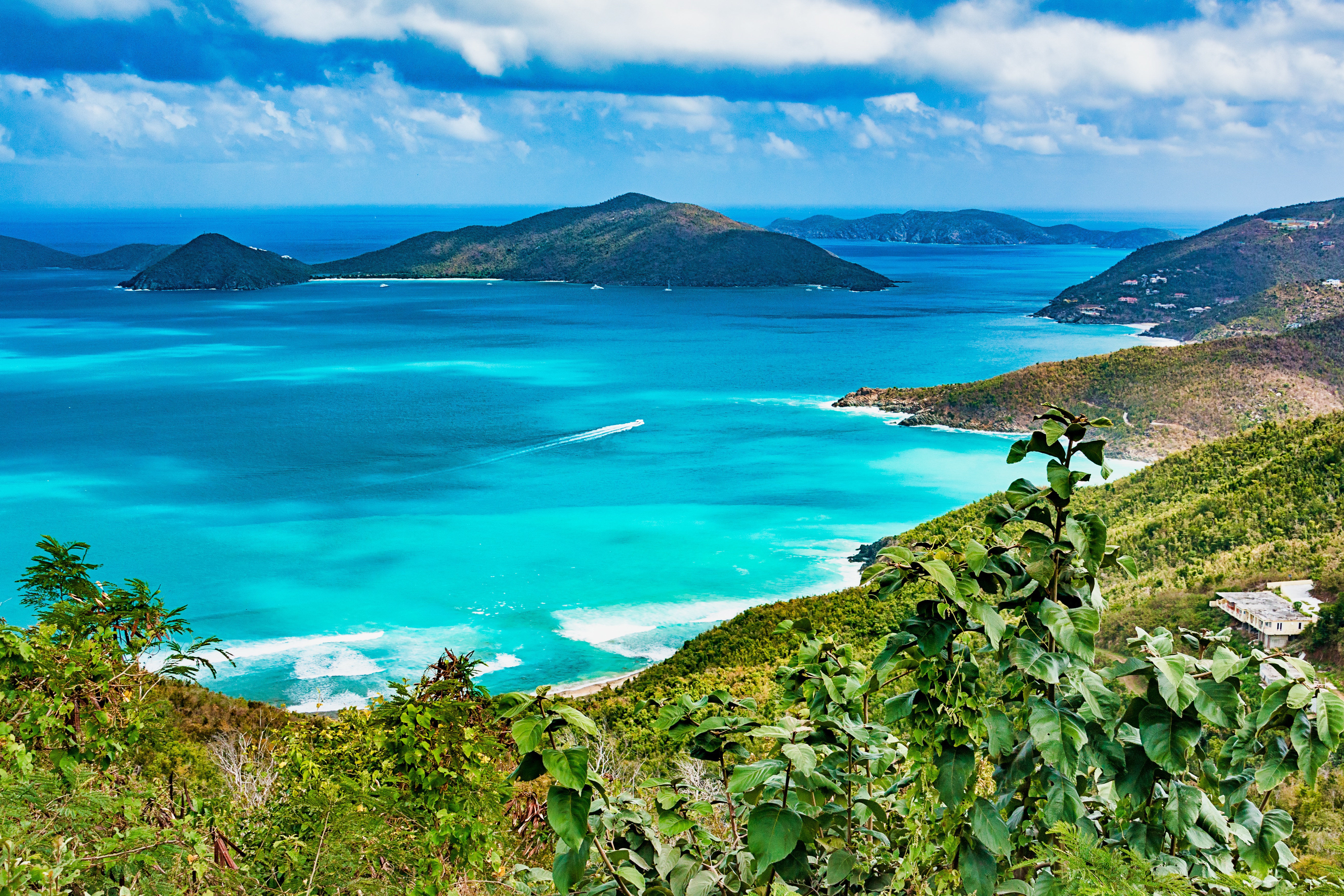
The bustling capital of the BVI looks out over Road Harbour. It takes only an hour or so to stroll down Main Street and along the waterfront, checking out the traditional West Indian buildings painted in pastel colors and with corrugated-tin roofs, bright shutters, and delicate fretwork trim. For sightseeing brochures and the latest information on everything from taxi rates to ferry schedules, stop in at the BVI Tourist Board office. Or just choose a seat on one of the benches in Sir Olva Georges Square, on Waterfront Drive, and watch the people come and go from the ferry dock and customs office across the street.

Beach, Tortola
Beach, TortolaImage by Richard Todd from Pixabay

Day 6 - Philipsburg

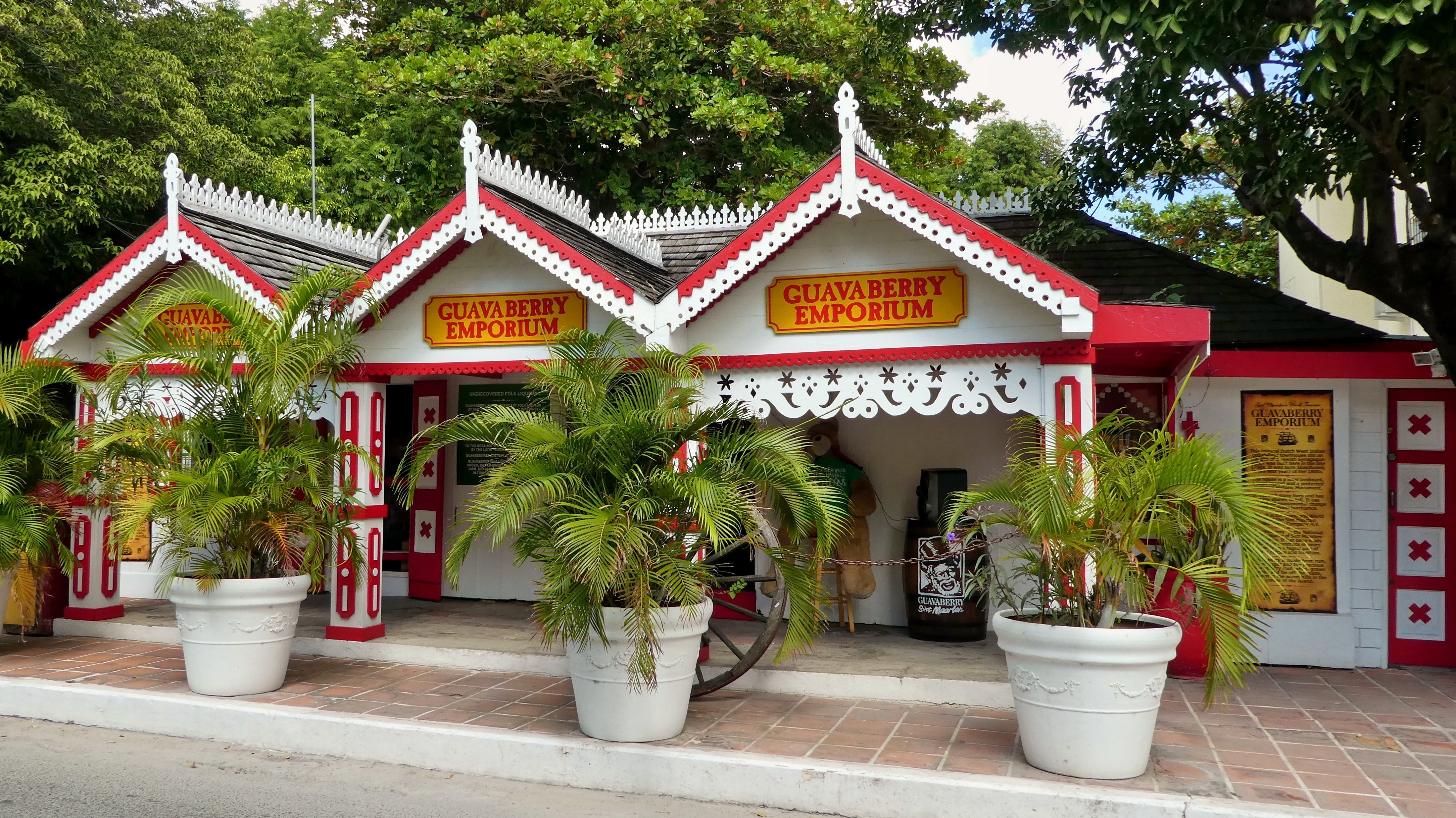
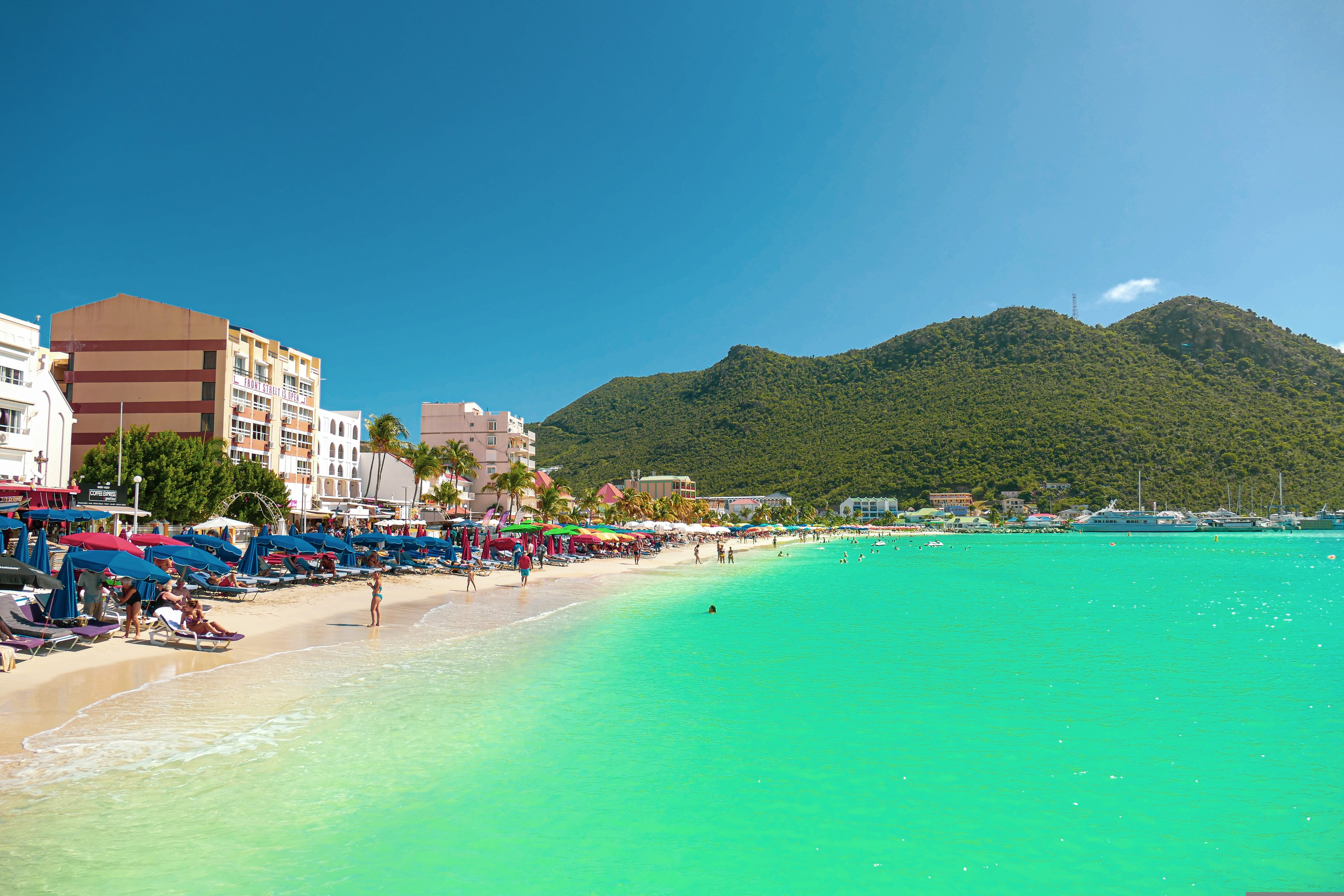
The capital of Dutch St. Maarten stretches about a mile (1½ km) along an isthmus between Great Bay and the Salt Pond and has five parallel streets. Most of the village's dozens of shops and restaurants are on Front Street, narrow and cobblestone, closest to Great Bay. It's generally congested when cruise ships are in port, because of its many duty-free shops and several casinos. Little lanes called steegjes connect Front Street with Back Street, which has fewer shops and considerably less congestion. Along the beach is a ½-mile-long (1-km-long) boardwalk with restaurants and several Wi-Fi hot spots.Wathey Square (pronounced watty) is in the heart of the village. Directly across from the square are the town hall and the courthouse, in a striking white building with cupola. The structure was built in 1793 and has served as the commander's home, a fire station, a jail, and a post office. The streets surrounding the square are lined with hotels, duty-free shops, restaurants, and cafés. The Captain Hodge Pier, just off the square, is a good spot to view Great Bay and the beach that stretches alongside.

Sxphi   Philipsburg   Beach   © St. Maarten Tourist Bureau
Sxphi Philipsburg Beach © St. Maarten Tourist Bureau©St. Maarten Tourist Bureau
Sxphi   Philipsburg   Beach, Children Running   © St. Maarten Tourist Bureau
Sxphi Philipsburg Beach, Children Running © St. Maarten Tourist Bureau©St. Maarten Tourist Bureau
Sxphi   Philipsburg   Cliff, Couple   © St. Maarten Tourist Bureau
Sxphi Philipsburg Cliff, Couple © St. Maarten Tourist Bureau©St. Maarten Tourist Bureau
Sxphi   Philipsburg   Jumping In The Sea, Dusk   © St. Maarten Tourist Bureau
Sxphi Philipsburg Jumping In The Sea, Dusk © St. Maarten Tourist Bureau©St. Maarten Tourist Bureau
Sint Maarten
Sint MaartenImage by neufal54 from Pixabay
Sint Maarten
Sint MaartenImage from Pixabay

Day 7 - Gustavia

You can easily explore all of Gustavia during a two-hour stroll. Some shops close from noon to 3 or 4, so plan lunch accordingly, but stores stay open past 7 in the evening. Parking in Gustavia is a challenge, especially during vacation times. A good spot to park is rue de la République, alongside the catamarans, yachts, and sailboats.

Blgus Gustavia Sea
Blgus Gustavia Sea

Day 8 - Basseterre, Saint Kitts

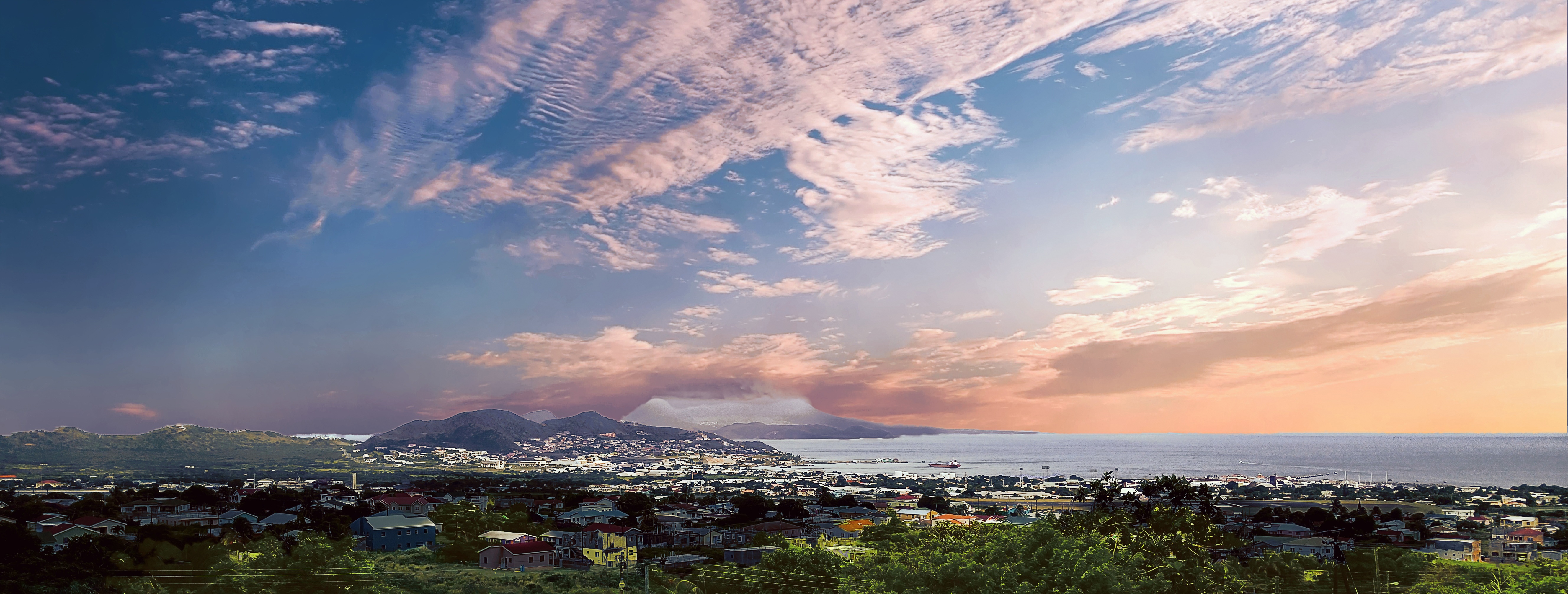
Mountainous St. Kitts, the first English settlement in the Leeward Islands, crams some stunning scenery into its 65 square miles (168 square km). Vast, brilliant green fields of sugarcane (the former cash crop, now slowly being replanted) run to the shore. The fertile, lush island has some fascinating natural and historical attractions: a rain forest replete with waterfalls, thick vines, and secret trails; a central mountain range dominated by the 3,792-foot Mt. Liamuiga, whose crater has long been dormant; and Brimstone Hill, known in the 18th century as the Gibraltar of the West Indies. St. Kitts and Nevis, along with Anguilla, achieved self-government as an associated state of Great Britain in 1967. In 1983 St. Kitts and Nevis became an independent nation. English with a strong West Indian lilt is spoken here. People are friendly but shy; always ask before you take photographs. Also, be sure to wear wraps or shorts over beach attire when you're in public places.

Knbas   Basseterre, Saint Kitts, Saint Kitts And Nevis   Mick Rodgers
Knbas Basseterre, Saint Kitts, Saint Kitts And Nevis Mick Rodgers

Day 9 - Saint John's

With its superb beaches, historical attractions and beautiful coral reefs, Antigua provides a host of diversions. It is said that the island contains 365 beaches, one for every day of the year. Antigua maintains its traditional West Indian character, with gingerbread-house style architecture, calypso music and carnival festivities. St John’s has been the administrative capital since the island’s colonisation in 1632, and has been the seat of government since it gained independence in 1981. From the port you can explore the colourful Redcliffe district, with its restored wooden houses, and Heritage Quay with its shopping mall and craft shops. The city has some fine examples of Colonial architecture, including the twin-towered cathedral, built in 1845 and considered one of the finest church buildings in the Caribbean. All coaches in Antigua are operated by smaller vehicles, and commentary will be given by a driver/guide.

Saint Johns Ocean Coast

Day 10 - Roseau

Although it's one of the smallest capitals in the Caribbean, Roseau has the highest concentration of inhabitants of any town in the eastern Caribbean. Caribbean vernacular architecture and a bustling marketplace transport visitors back in time. Although you can walk the entire town in about an hour, you'll get a much better feel for the place on a leisurely stroll. For some years now, the Society for Historical Architectural Preservation and Enhancement (SHAPE) has organized programs and projects to preserve the city's architectural heritage. Several interesting buildings have already been restored. Lilac House, on Kennedy Avenue, has three types of gingerbread fretwork, latticed verandah railings, and heavy hurricane shutters. The J.W. Edwards Building, at the corner of Old and King George V sreets, has a stone base and a wooden second-floor gallery. The Old Market Plaza is the center of Roseau's historic district, which was laid out by the French on a radial plan rather than a grid, so streets such as Hanover, King George V, and Old radiate from this area. South of the marketplace is the Fort Young Hotel, built as a British fort in the 18th century; the nearby statehouse, public library, and Anglican cathedral are also worth a visit. New developments at the bay front on Dame M.E. Charles Boulevard have brightened up the waterfront.

Dmrsu   Roseau, Dominica   Falco 1
Dmrsu Roseau, Dominica Falco 1
Dmrsu   Roseau, Dominica   Richard Todd
Dmrsu Roseau, Dominica Richard Todd

Day 11 - Fort-de-France

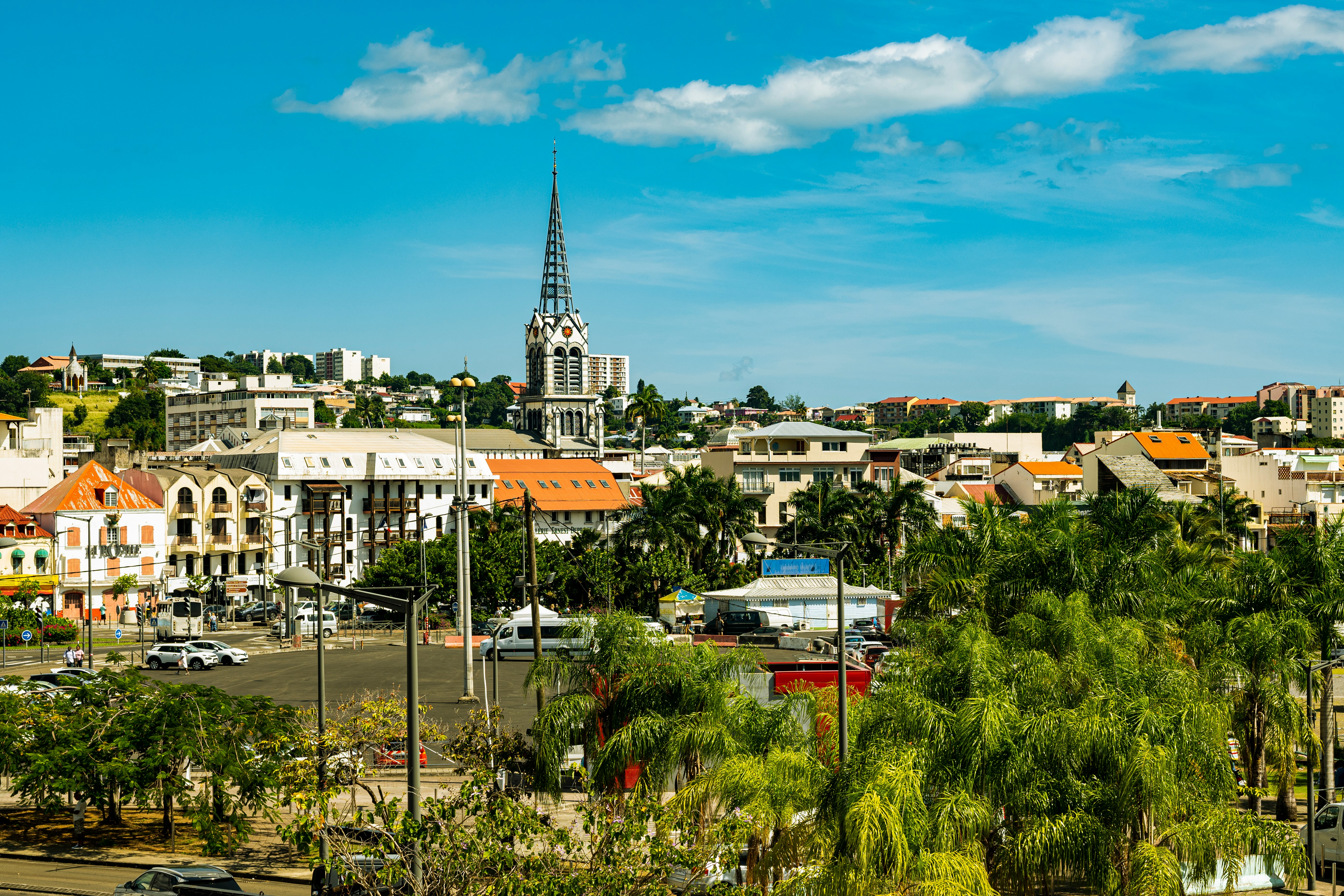
The largest of the Windward Islands, Martinique is 4,261 mi (6,817 km) from Paris, but its spirit and language are decidedly French, with more than a soupçon of West Indian spice. Tangible, edible evidence of the fact is the island's cuisine, a superb blend of French and creole. Martinique is lushly landscaped with tropical flowers. Trees bend under the weight of fruits such as mangoes, papayas, lemons, limes, and bright-red West Indian cherries. Acres of banana plantations, pineapple fields, and waving sugarcane stretch to the horizon. The towering mountains and verdant rain forest in the north lure hikers, while underwater sights and sunken treasures attract snorkelers and scuba divers. Martinique is also wonderful if your idea of exercise is turning over every 10 minutes to get an even tan and your taste in adventure runs to duty-free shopping. A popular cruise-ship excursion goes to St-Pierre, which was buried by ash when Mont Pelée erupted in 1902.

Fort De France, Capital Of Martinique
Fort De France, Capital Of MartiniquePhoto by Wil ZAID on Unsplash

Day 12 - Castries

The typical image of a lush tropical paradise comes to life on the friendly island of St Lucia. Despite its small size – just 27 miles long and 14 miles wide – St Lucia is rich in natural splendour with dense emerald rainforest, banana plantations and orchards of coconut, mango and papaya trees. The twin peaks of Les Pitons, now a UNESCO World Heritage Site rise dramatically 2,000 feet into the sky and dominate the island. Look out for unusual birds with brilliant plumage such as the St Lucia parrot, see a surprising diversity of exotic flora and enjoy the warm hospitality of the islanders in the small villages and open-air markets. Please be aware that St Lucia is a small, mountainous island, with steep, winding and bumpy roads. Customers with back and neck problems should take this into consideration when booking an excursion.

Lccas   Castries, Saint Lucia Photo Credit Belongs To Nick Fewings
Lccas Castries, Saint Lucia Photo Credit Belongs To Nick Fewings
Lccas   Castries, Saint Lucia   Photo Credit Artem Pochepetsky
Lccas Castries, Saint Lucia Photo Credit Artem Pochepetsky

Day 13 - Bridgetown

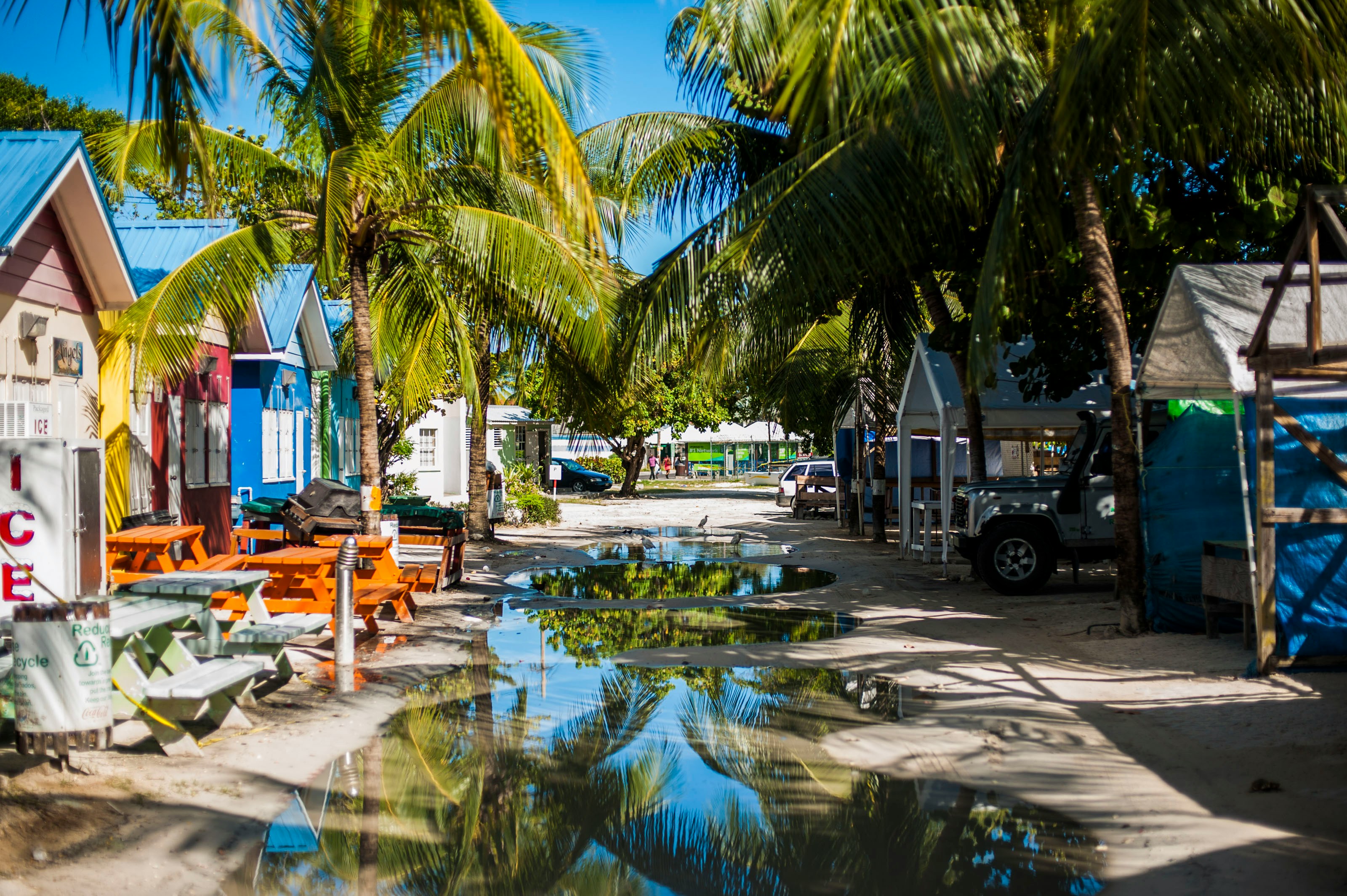
Located beside the island’s only natural harbour, the capital of Barbados combines modern and colonial architecture with glorious palm tree-lined beaches and a number of historical attractions. Experience the relaxed culture of the city renowned for its British-style parliament buildings and vibrant beach life, and seek out the Anglican church and the 19th-century Barbados Garrison. The distance between the ship and your tour vehicle may vary. This distance is not included in the excursion grades.

Bbbgi   Bridgetown   Boardwalk  © The Club Barbados, Elite Island Resorts
Bbbgi Bridgetown Boardwalk © The Club Barbados, Elite Island Resorts© The Club Barbados, Elite Island Resorts
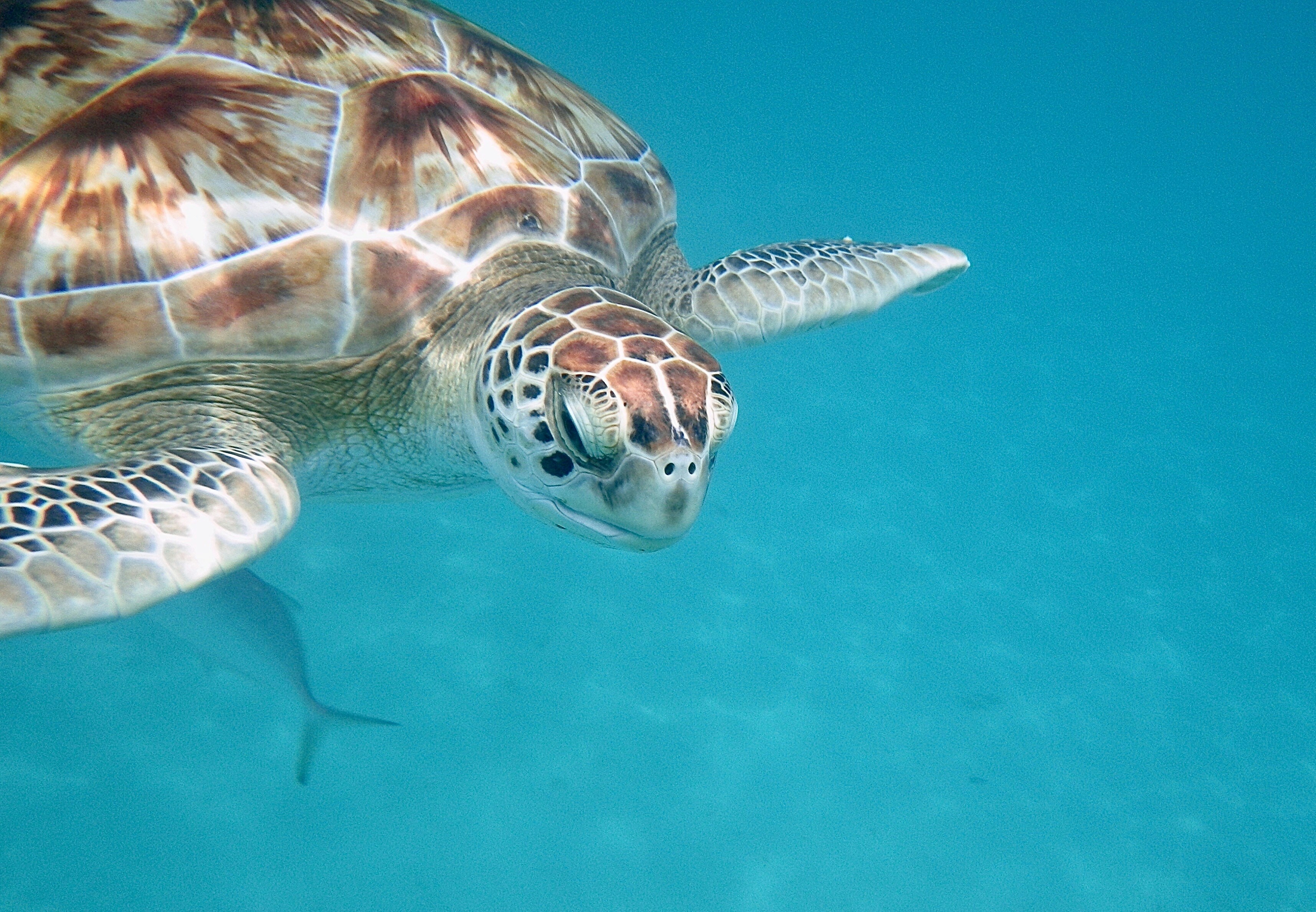
Bridgetown Turtle
Bridgetown TurtleBruce Barrow, Unsplash
Barbados Bridgetown
Barbados BridgetownTom Jur, Unsplash

Day 14 - Kingstown

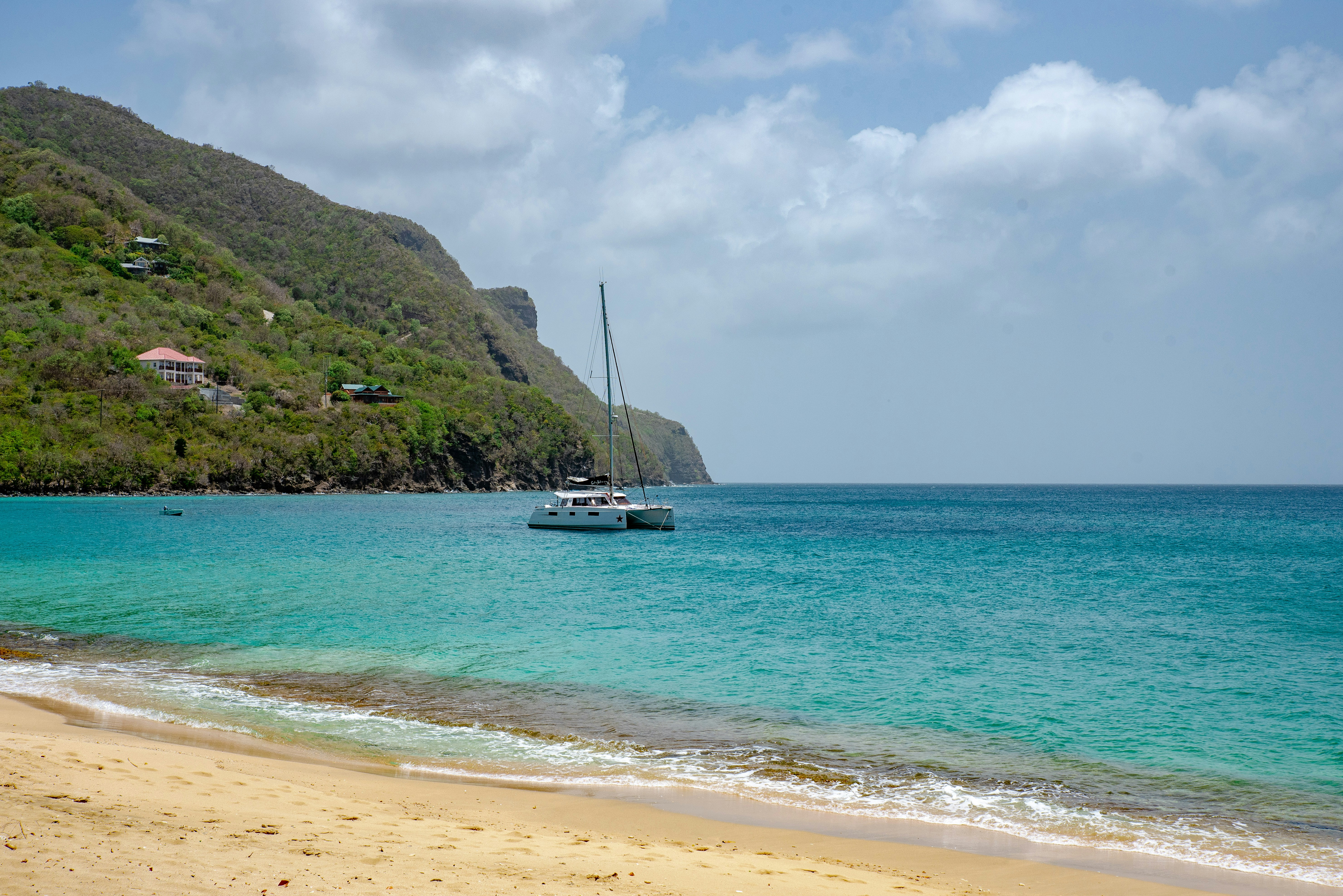
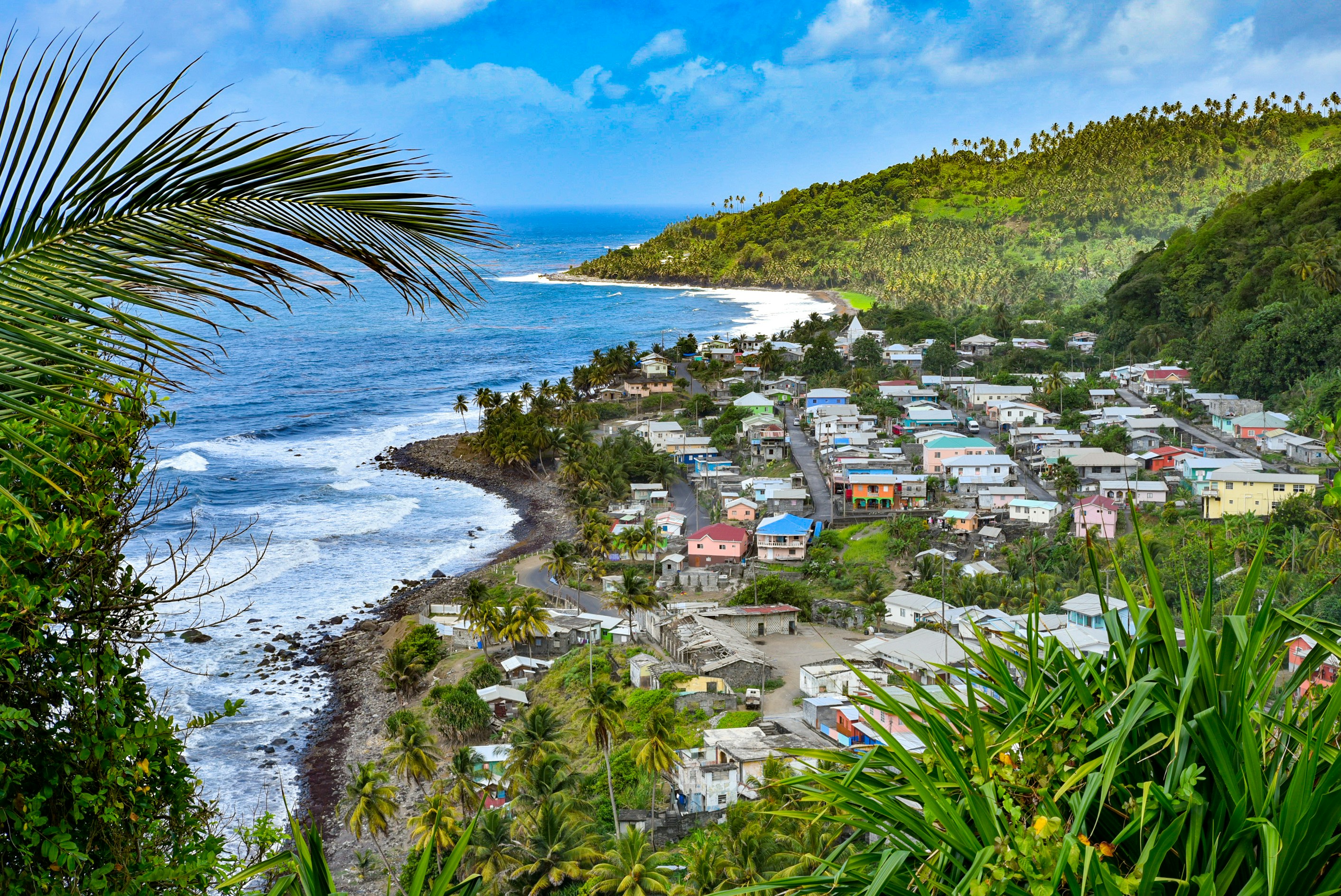
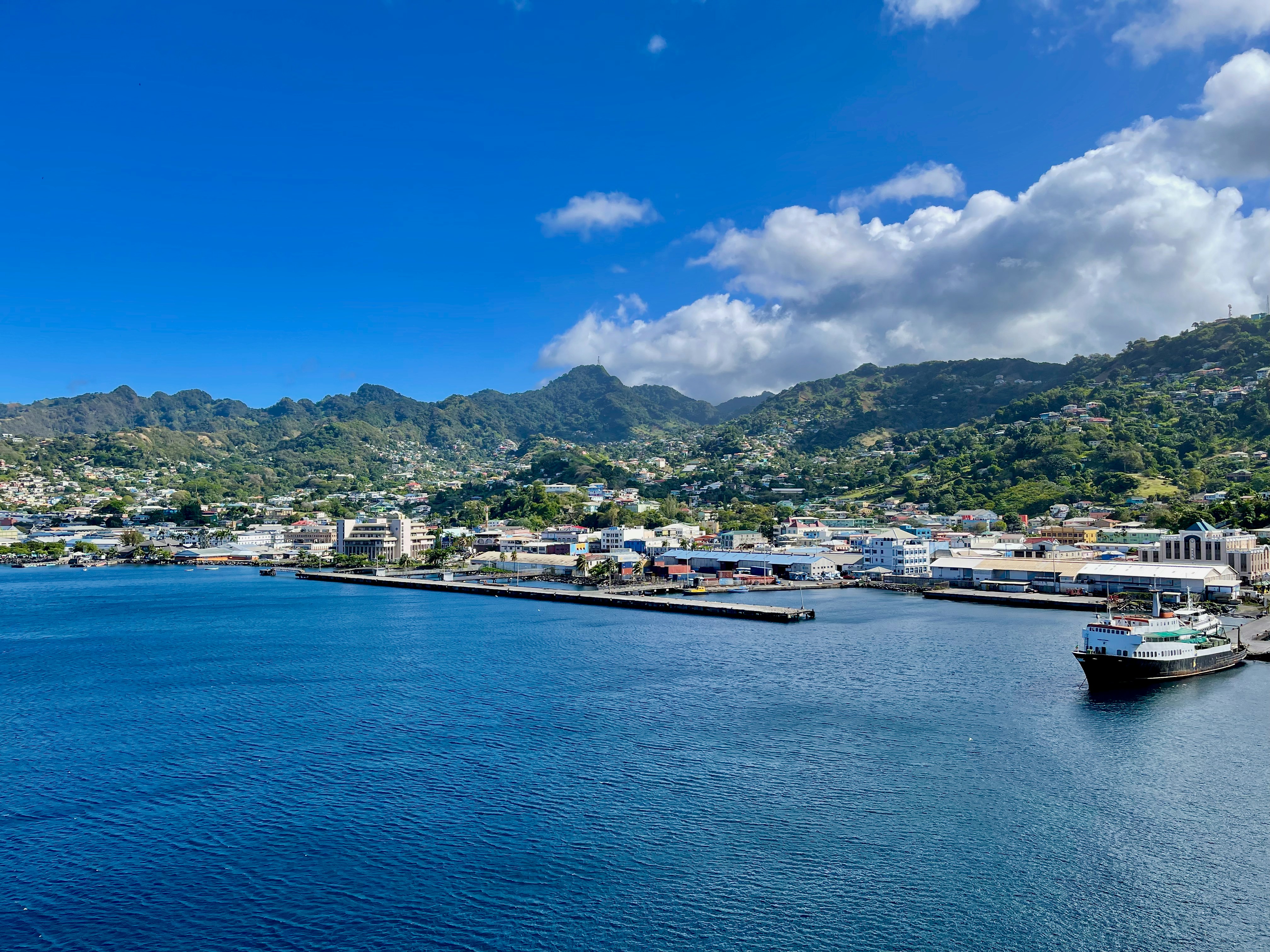
Kingstown is the capital of Saint Vincent and the Grenadines. The port city is known for its Botanical Gardens, founded in 1765 and home to tropical plants and aviaries. On a ridge above the bay, the 1806 Fort Charlotte offers panoramic views of the archipelago. The city center has 19th-century churches such as St. Mary’s Cathedral. The lively Kingstown Market sells local produce. Popular Villa Beach is nearby

St Vincent And The Grenadines
St Vincent And The GrenadinesPhoto by Ernie A. Stephens on Unsplash
St Vincent And The Grenadines
St Vincent And The GrenadinesPhoto by Ernie A. Stephens on Unsplash
St Vincent And The Grenadines
St Vincent And The GrenadinesPhoto by iSAW Company on Unsplash

Day 15 - Saint George's

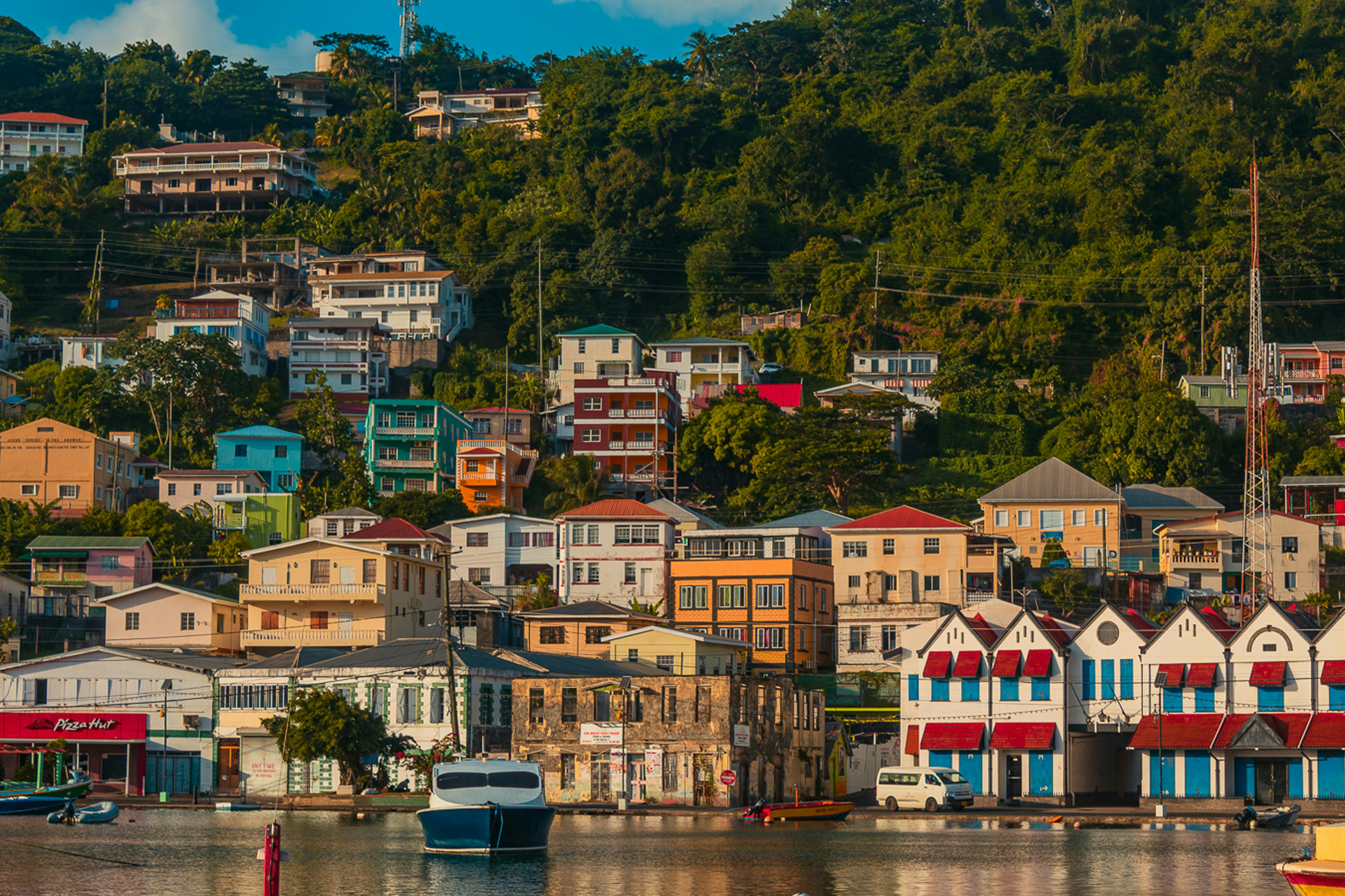
Nutmeg, cinnamon, cloves, cocoa those heady aromas fill the air in Grenada (pronounced gruh-nay-da). Only 21 miles (33½ km) long and 12 miles (19½ km) wide, the Isle of Spice is a tropical gem of lush rain forests, white-sand beaches, secluded coves, exotic flowers, and enough locally grown spices to fill anyone's kitchen cabinet. St. George's is one of the most picturesque capital cities in the Caribbean, St. George's Harbour is one of the most picturesque harbors, and Grenada's Grand Anse Beach is one of the region's finest beaches. The island has friendly, hospitable people and enough good shopping, restaurants, historic sites, and natural wonders to make it a popular port of call. About one-third of Grenada's visitors arrive by cruise ship, and that number continues to grow each year. Grenada's capital is a bustling West Indian city, much of which remains unchanged from colonial days. Narrow streets lined with shops wind up, down, and across steep hills. Brick warehouses cling to the waterfront, and pastel-painted homes rise from the waterfront and disappear into steep green hills. The horseshoe-shaped St. George's Harbour, a submerged volcanic crater, is arguably the prettiest harbor in the Caribbean. Schooners, ferries, and tour boats tie up along the seawall or at the small dinghy dock. The Carenage (pronounced car-a-nahzh), which surrounds the harbor, is the capital's center. Warehouses, shops, and restaurants line the waterfront. The Christ of the Deep statue that sits on the pedestrian plaza at the center of The Carenage was presented to Grenada by Costa Cruise Line in remembrance of its ship, Bianca C, which burned and sank in the harbor in 1961 and is now a favorite dive site. An engineering feat for its time, the 340-foot-long Sendall Tunnel was built in 1895 and named for Walter Sendall, an early governor. The narrow tunnel, used by both pedestrians and vehicles, separates the harbor side of St. George's from the Esplanade on the bay side of town, where you can find the markets (produce, meat, and fish), the Cruise Ship Terminal, the Esplanade Mall, and the public bus station.

Seaside Buildings On A Hillside In The Town Of Saint George
Seaside Buildings On A Hillside In The Town Of Saint GeorgePhoto by G.isle px

Day 16 - At Sea

Further details for this day are not available.

Day 17 - Devil's Island

Discarded off the coast of French Guiana, lies an ominous, key-shaped island of sharp rocks and swaying palm trees - Devil's Island. As the site of one of history’s most infamous and feared prisons, the island's reputation as hell on earth was well earned, having been used to brutally imprison, torture and punish the French Empire's most notorious criminals. Closed down in 1953, it now lies in an eerie purgatory, and the sense of unease as you approach it is hard to avoid, with its laden-coconut trees duplicitously waving you ashore.

Devil's Island
Devil's IslandPhoto by Flow Flo on Unsplash

Day 18 - At Sea

Further details for this day are not available.

Day 19 - At Sea

Further details for this day are not available.

Day 20 - Fortaleza

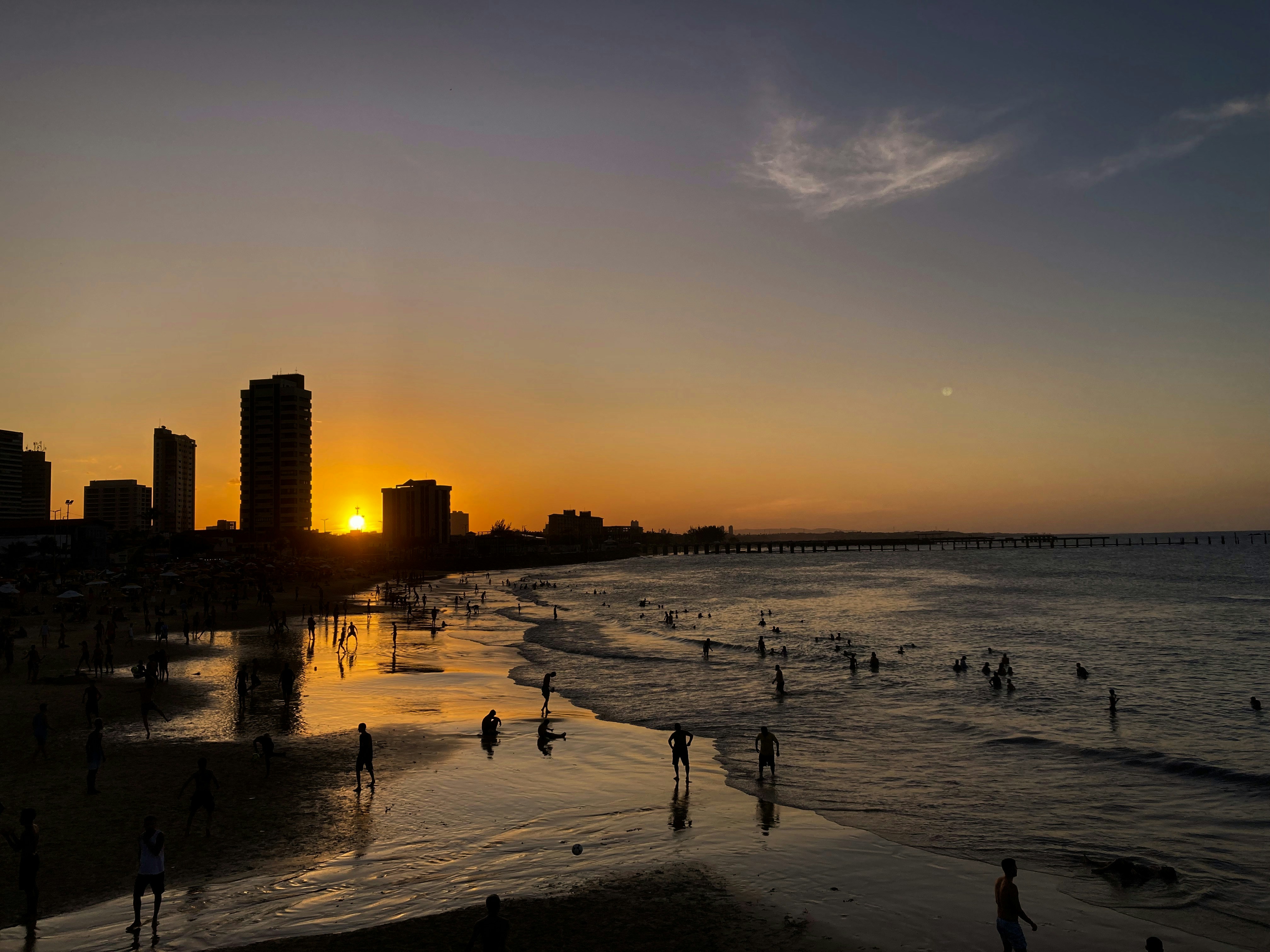
Called the "City of Light," Fortaleza claims that the sun shines on it 2,800 hours a year. And it's a good thing, too, as the coastline stretches far beyond the city. To the east, along the Litoral Leste or the Costa Sol Nascente (Sunrise Coast) are many fishing villages. To the west, along the Litoral Oeste or the Costa Sol Poente (Sunset Coast), there are pristine stretches of sand. The shores here are cooled by constant breezes and lapped by waters with an average temperature of 24°C (72°F).Today Fortaleza, a large, modern state capital with more than 2 million inhabitants, is Brazil's fifth-largest city. It's also on the move, with one of the country's newest airports, a modern convention center, a huge cultural center with a planetarium, large shopping malls, several museums and theaters, and an abundance of sophisticated restaurants. At Praia de Iracema there's a revitalized beachfront area of sidewalk cafés, bars, and dance clubs. But if you wander along the shore, you're still bound to encounter fishermen unloading their catch from traditional jangadas—just as they've done for hundreds of years.

Beira Mar, Fortaleza, Brazil
Beira Mar, Fortaleza, BrazilPhoto by Guilherme Hilton on Unsplash

Day 21 - At Sea

Further details for this day are not available.

Day 22 - Recife

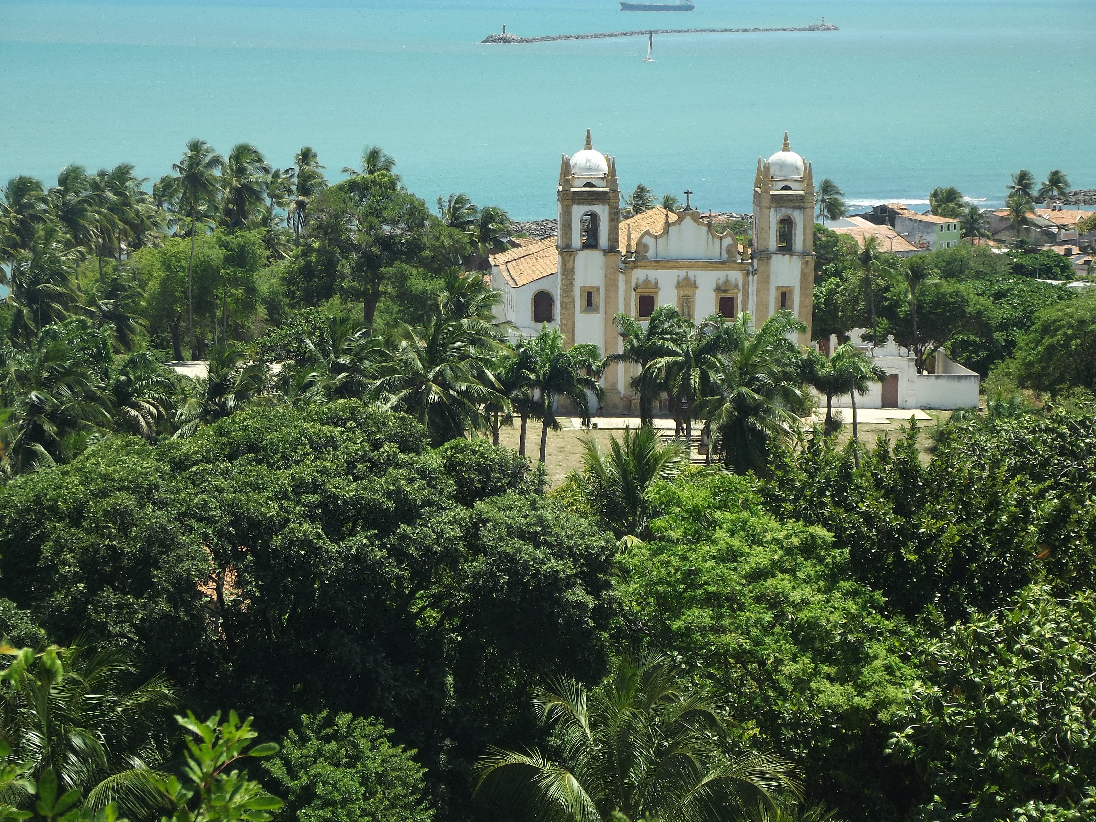
This vibrant metropolis has a spirit that's halfway between that of the modern cities of Brazil's South and of the traditional northeastern centers. It offers both insight on the past and a window to the future.It was in Pernambuco State, formerly a captaincy, that the most violent battles between the Dutch and the Portuguese took place. Under the Portuguese, the capital city was the nearby community of Olinda. But beginning in 1637 and during the Dutch turn at the reins (under the powerful count Maurício de Nassau), both Olinda and Recife were greatly developed.The city has beautiful buildings alongside the rivers that remind many visitors of Europe. Unfortunately, huge swathes of 19th-century buildings were razed to make way for modern structures. As a result, the center of the city has pockets of neocolonial splendor surrounded by gap-toothed modern giants. Today Recife is a leader in health care and has benefited from significant government investment in recent years, resulting in a boom in infrastructure and construction industries. It's also Brazil's third-largest gastronomic center—it's almost impossible to get a bad meal here.Recife is built around three rivers and connected by 49 bridges. Its name comes from the recifes (reefs) that line the coast. Because of this unique location, water and light often lend the city interesting textures. In the morning, when the tide recedes from Boa Viagem Beach, the rocks of the reefs slowly reappear. Pools of water are formed, fish flap around beachgoers, and the rock formations dry into odd colors. And if the light is just right on the Rio Capibaribe, the ancient buildings of Recife Antigo (Old Recife) are reflected off the river's surface in a watercolor display.

Recofe, Brazil
Recofe, BrazilImage by Matheus Araújo Machado de Freitas from Pixabay

Day 23 - Maceió

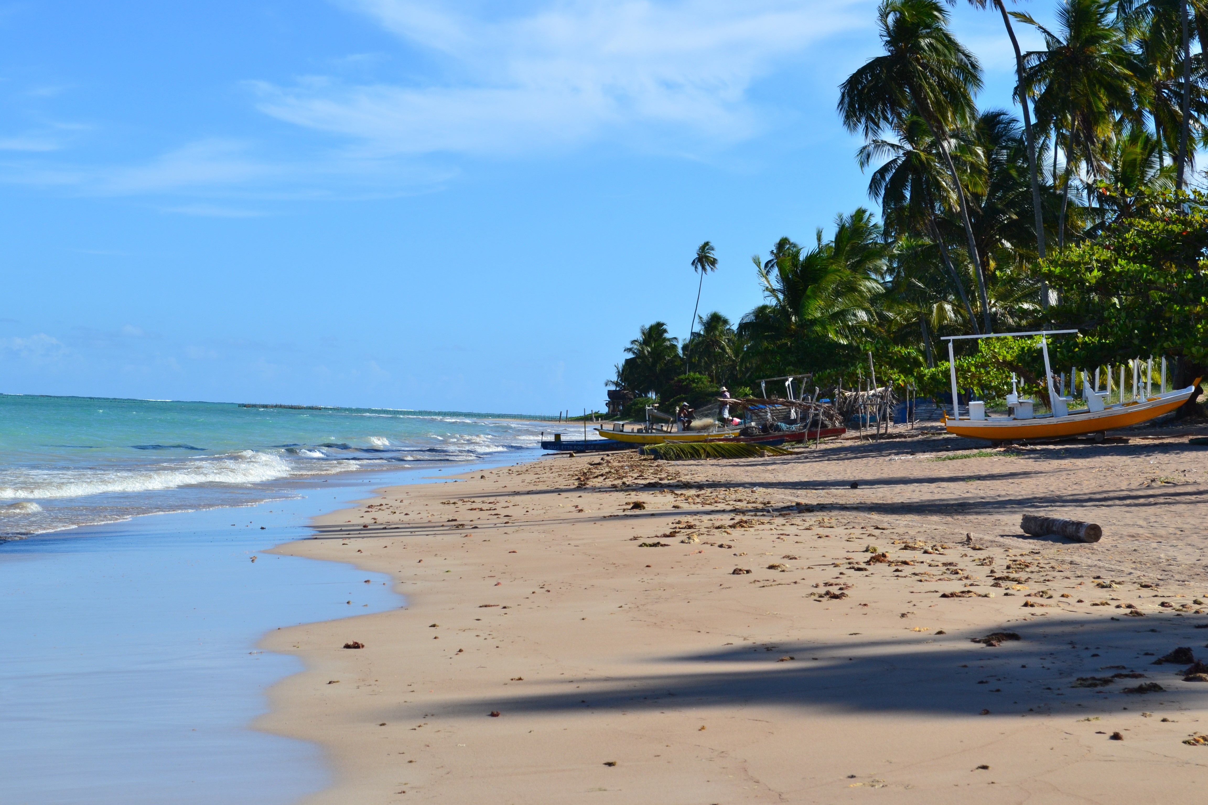
Maceió, city, capital of Alagoas estado (state), northeastern Brazil. It is situated below low bluffs on a level strip of land between the Atlantic Ocean and the Norte (or Mundaú) Lagoon, a shallow body of water extending inward for several miles. Formerly called Macayo, the city dates from 1815, when a small settlement there was made a villa. In 1839 it became capital of Alagoas (then a provincia) and was given city status.

Beach At Maceio
Beach At MaceioImage by tupesa from Pixabay

Day 24 - Salvador de Bahia

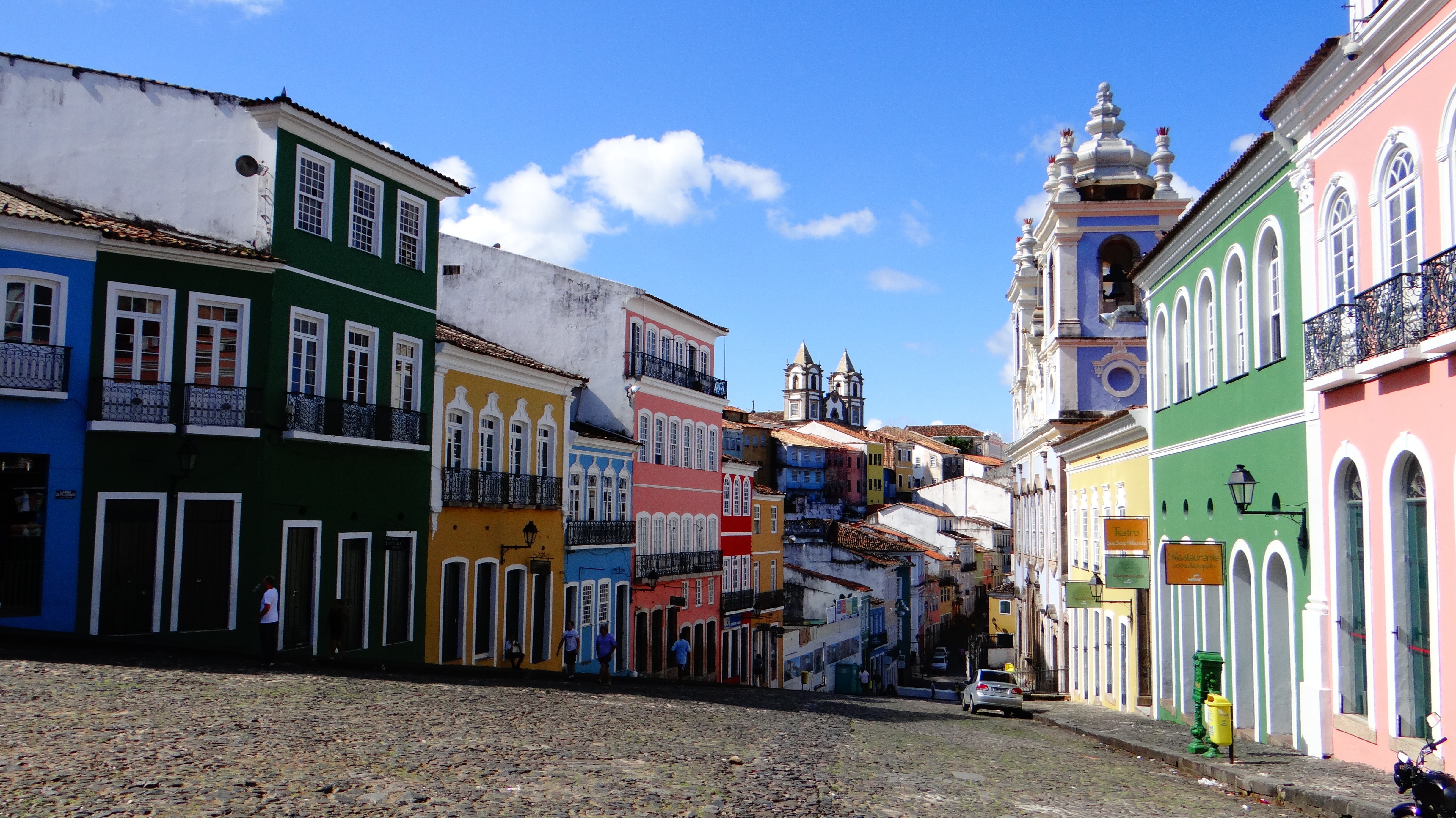
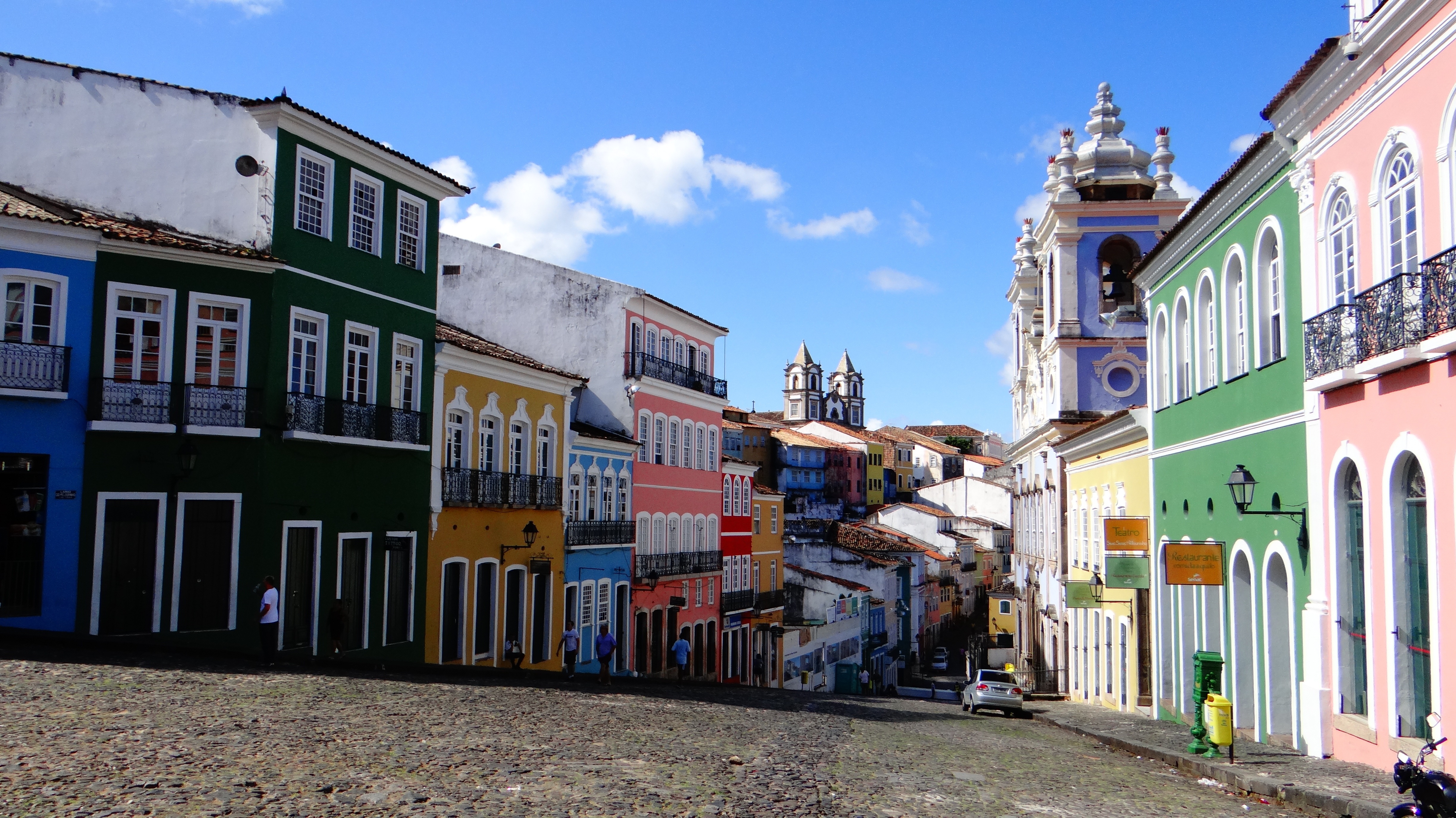
According to Salvador's adopted son Jorge Amado, "In Salvador, magic becomes part of the every-day." From the shimmering golden light of sunset over the Baía do Todos os Santos, to the rhythmic beats that race along the streets, Salvador, while no longer Brazil's capital, remains one of its most captivating cities. A large dose of its exoticism comes down to its African heritage—at least 70% of its 2,675,000 population is classified as Afro-Brazilian—and how it has blended into Brazil's different strands, from the native Indians to the Christian colonizers. Salvadorans may tell you that you can visit a different church every day of the year, which is almost true—the city has about 300. Churches whose interiors are covered with gold leaf were financed by the riches of the Portuguese colonial era, when slaves masked their traditional religious beliefs under a thin Catholic veneer. And partly thanks to modern-day acceptance of those beliefs, Salvador has become the fount of Candomblé, a religion based on personal dialogue with the orixás, a family of African deities closely linked to nature and the Catholic saints. The influence of Salvador's African heritage on Brazilian music has also turned the city into one of the musical capitals of Brazil, resulting in a myriad of venues to enjoy live music across the city, along with international acclaim for exponents like Gilberto Gil, Caetano Veloso, and Daniela Mercury. Salvador's economy today is focused on telecommunications and tourism. The still-prevalent African culture draws many tourists—this is the best place in Brazil to hear African music, learn or watch African dance, and see capoeira, a martial art developed by slaves. In the district of Pelourinho, many colorful 18th- and 19th-century houses remain, part of the reason why this is the center of the tourist trade. Salvador sprawls across a peninsula surrounded by the Baía de Todos os Santos on one side and the Atlantic Ocean on the other. The city has about 50 km (31 miles) of coastline. The original city, referred to as the Centro Histórica (Historical Center), is divided into the Cidade Alta (Upper City), also called Pelourinho, and Cidade Baixa (Lower City). The Cidade Baixa is a commercial area—known as Comércio—that runs along the port and is the site of Salvador's indoor market, Mercado Modelo. You can move between the upper and lower cities on foot, via the landmark Elevador Lacerda, behind the market, or on the Plano Inclinado, a funicular lift, which connects Rua Guindaste dos Padres on Comércio with the alley behind Cathedral Basílica. From the Cidade Histórica you can travel north along the bay to the hilltop Igreja de Nosso Senhor do Bonfim. You can also head south to the point, guarded by the Forte Santo Antônio da Barra, where the bay waters meet those of the Atlantic. This area on Salvador's southern tip is home to the trendy neighborhoods of Barra, Ondina, and Rio Vermelho, with many museums, theaters, shops, and restaurants. Beaches along the Atlantic coast and north of Forte Santo Antônio da Barra are among the city's cleanest. Many are illuminated at night and have bars and restaurants that stay open late.

Salvador De Bahia
Salvador De BahiaImage by soel84 from Pixabay
Salvador De Bahia, Brazil
Salvador De Bahia, BrazilImage by soel84 from Pixabay

Day 25 - At Sea

Further details for this day are not available.

Day 26 - At Sea

Further details for this day are not available.

Day 27 - Rio de Janeiro

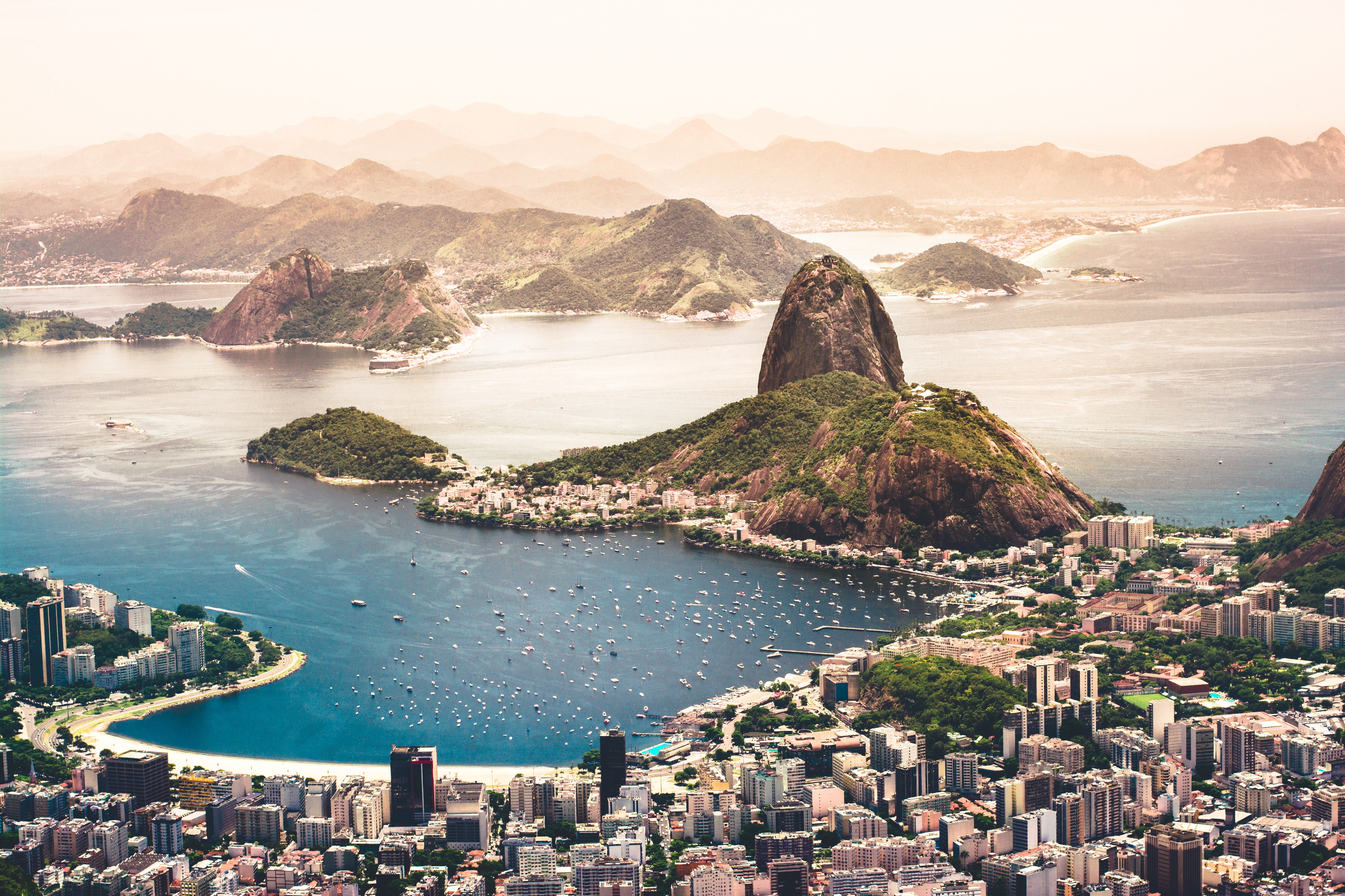
Welcome to the Cidade Maravilhosa, or the Marvelous City, as Rio is known in Brazil. Synonymous with the girl from Ipanema, the dramatic views from Christ the Redeemer atop Corcovado mountain, and fabulously flamboyant Carnival celebrations, Rio is a city of stunning architecture, abundant museums, and marvelous food. Rio is also home to 23 beaches, an almost continuous 73-km (45-mile) ribbon of sand.As you leave the airport and head to Rio's beautiful Zona Sul (the touristic South Zone), you'll drive for about 40 minutes on a highway from where you'll begin to get a sense of the dramatic contrast between beautiful landscape and devastating poverty. In this teeming metropolis of 12 million people (6.2 million of whom live in Rio proper), the very rich and the very poor live in uneasy proximity. You'll drive past seemingly endless cinder-block favela, but by the time you reach Copacabana's breezy, sunny Avenida Atlântica—flanked on one side by white beach and azure sea and on the other by condominiums and hotels—your heart will leap with expectation as you begin to recognize the postcard-famous sights. Now you're truly in Rio, where cariocas (Rio residents) and tourists live life to its fullest.Enthusiasm is contagious in Rio. Prepare to have your senses engaged and your inhibitions untied. Rio seduces with a host of images: the joyous bustle of vendors at Sunday's Feira Hippie (Hippie Fair); the tipsy babble at sidewalk cafés as patrons sip their last glass of icy beer under the stars; the blanket of lights beneath the Pão de Açúcar (Sugarloaf Mountain); the bikers, joggers, strollers, and power walkers who parade along the beach each morning. Borrow the carioca spirit for your stay; you may find yourself reluctant to give it back.

Brrio Rio De Janeiro Aerial Photography Of Cityscape Near Sea Agustin Diaz
Brrio Rio De Janeiro Aerial Photography Of Cityscape Near Sea Agustin DiazAgustin Diaz
Brrio Rio De Janeiro Group Of People Sunbathing On Beach Joao Pedro Vergara
Brrio Rio De Janeiro Group Of People Sunbathing On Beach Joao Pedro VergaraJoao Pedro Vergara
Brrio Rio De Janeiro Christ The Redemer Statue Cerqueira
Brrio Rio De Janeiro Christ The Redemer Statue Cerqueiracerqueira

Day 28 - Ilha Grande

Further details for this day are not available.

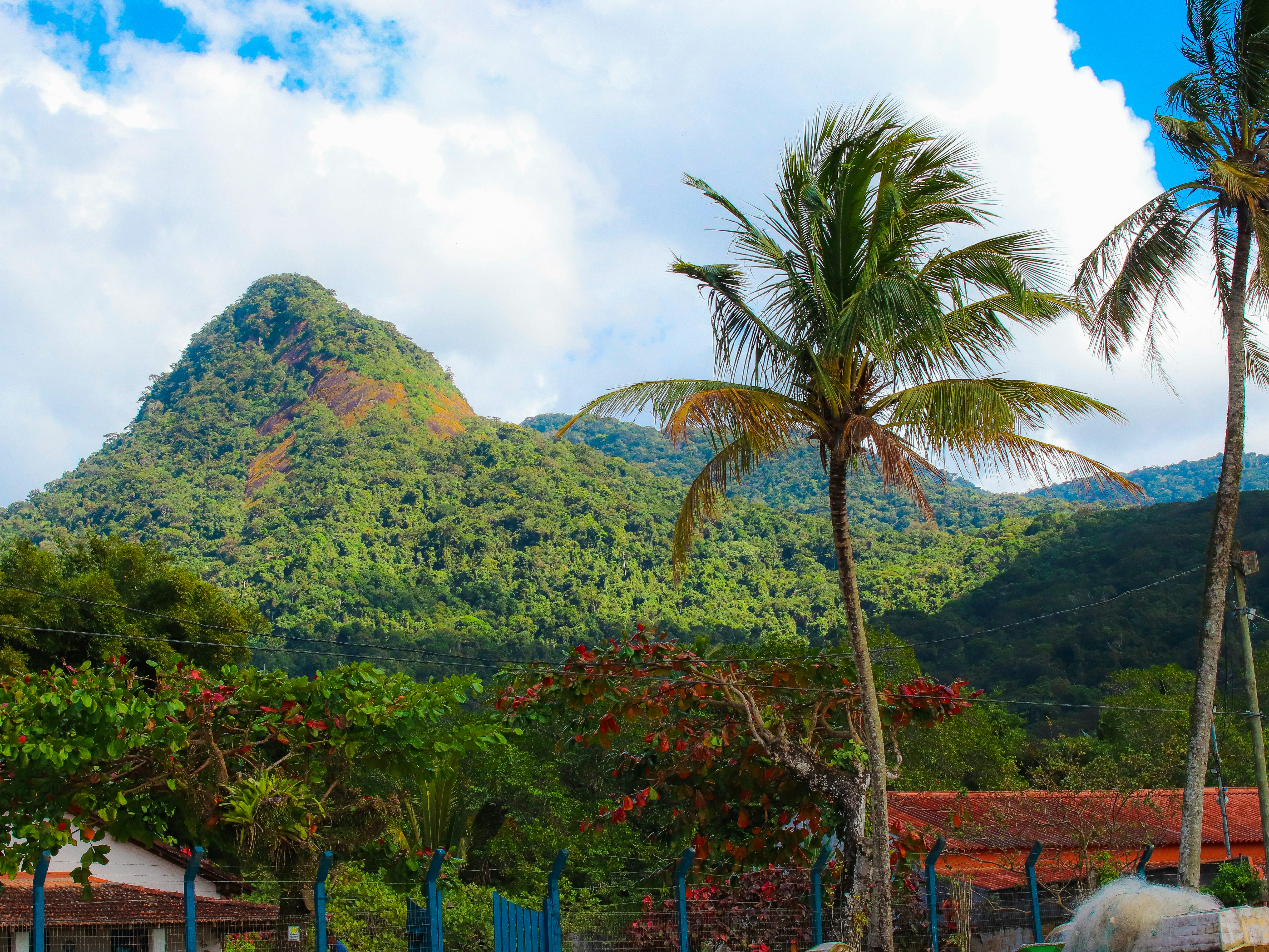
Ilha Grande, Angra Dos Reis   Rj, Brazil
Ilha Grande, Angra Dos Reis Rj, BrazilPhoto by Tutz Dias on Unsplash

Day 29 - Buzios

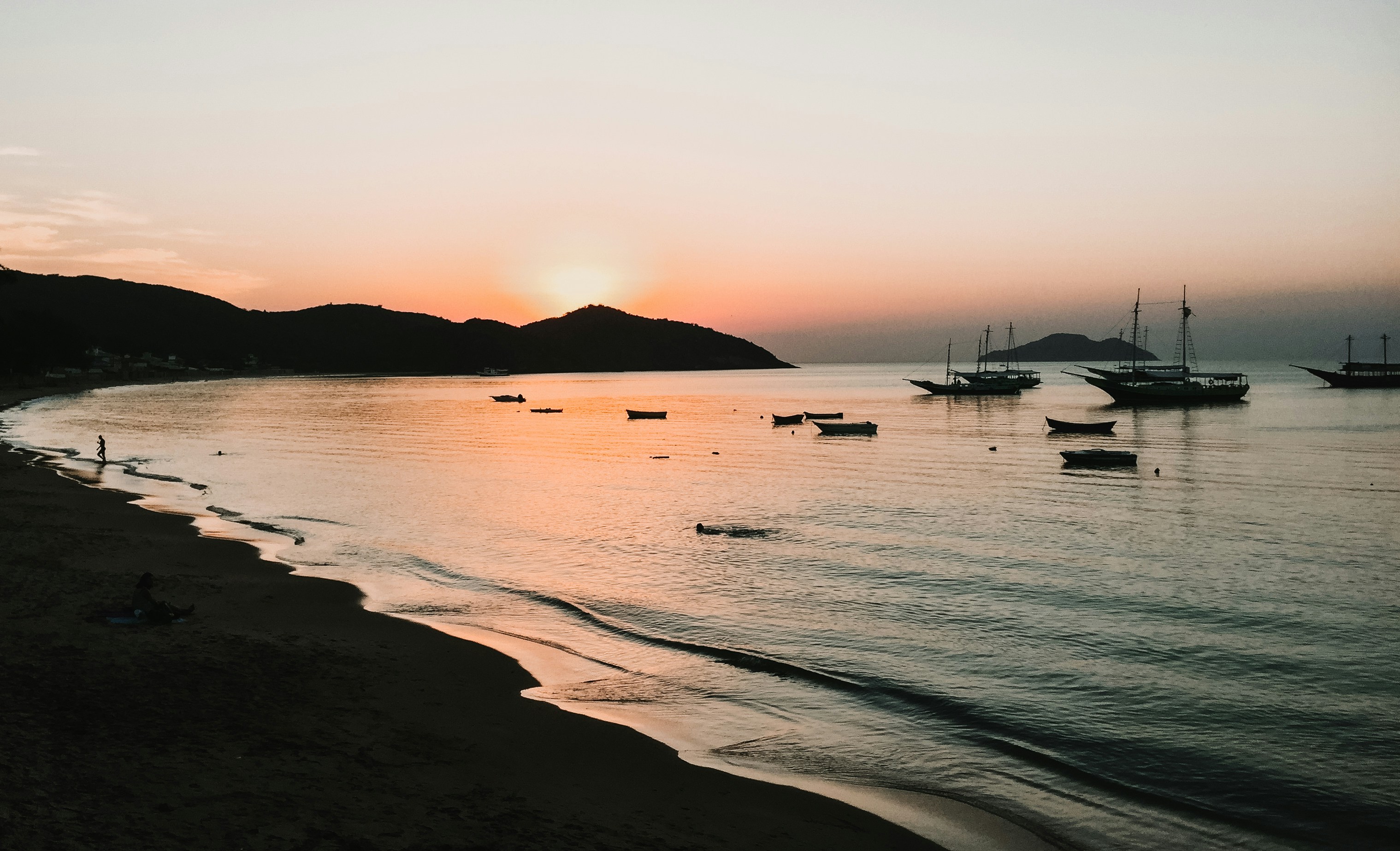
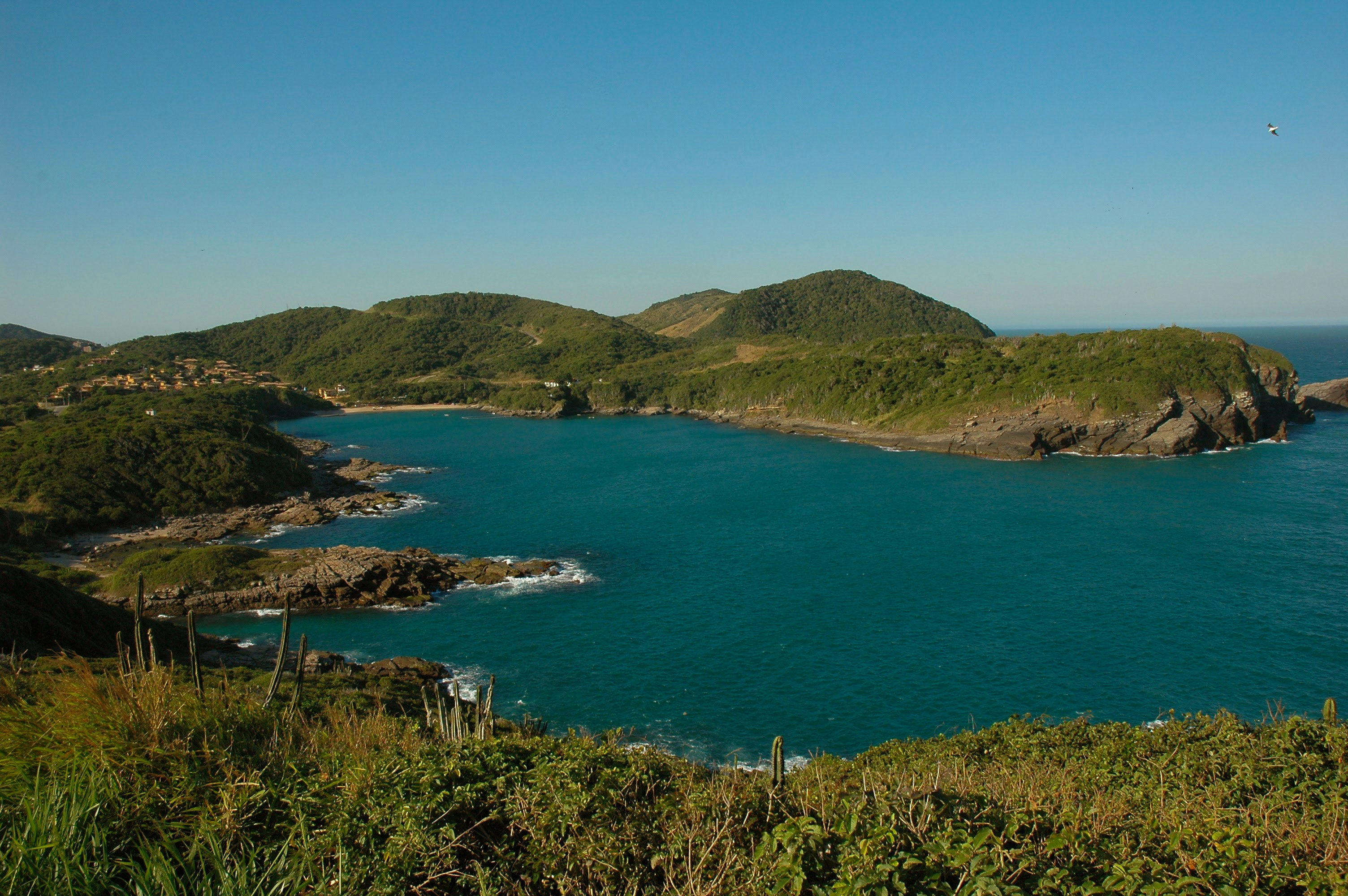
Around two hours from Rio de Janeiro, Búzios is a string of beautiful beaches on an 8-km-long (5-mile-long) peninsula. It was the quintessential sleepy fishing village until the 1960s, when the French actress Brigitte Bardot holidayed here to escape the paparazzi and the place almost instantly transformed into a vacation sensation. Búzios has something for everyone. Some hotels cater specifically to families and provide plenty of activities and around-the-clock child care. Many have spa facilities, and some specialize in weeklong retreats. For outdoor enthusiasts, Búzios offers surfing, windsurfing, kitesurfing, diving, hiking, and mountain biking, as well as leisurely rounds of golf.

Buzios, Armação Dos Búzios   State Of Rio De Janeiro, Brazil
Buzios, Armação Dos Búzios State Of Rio De Janeiro, BrazilPhoto by Luca Lago on Unsplash
Buzios, Armação Dos Búzios   State Of Rio De Janeiro, Brazil
Buzios, Armação Dos Búzios State Of Rio De Janeiro, BrazilPhoto by Roberto Huczek on Unsplash
Buzios, Brazil
Buzios, BrazilImage by Pexels from Pixabay

Day 30 - Parati

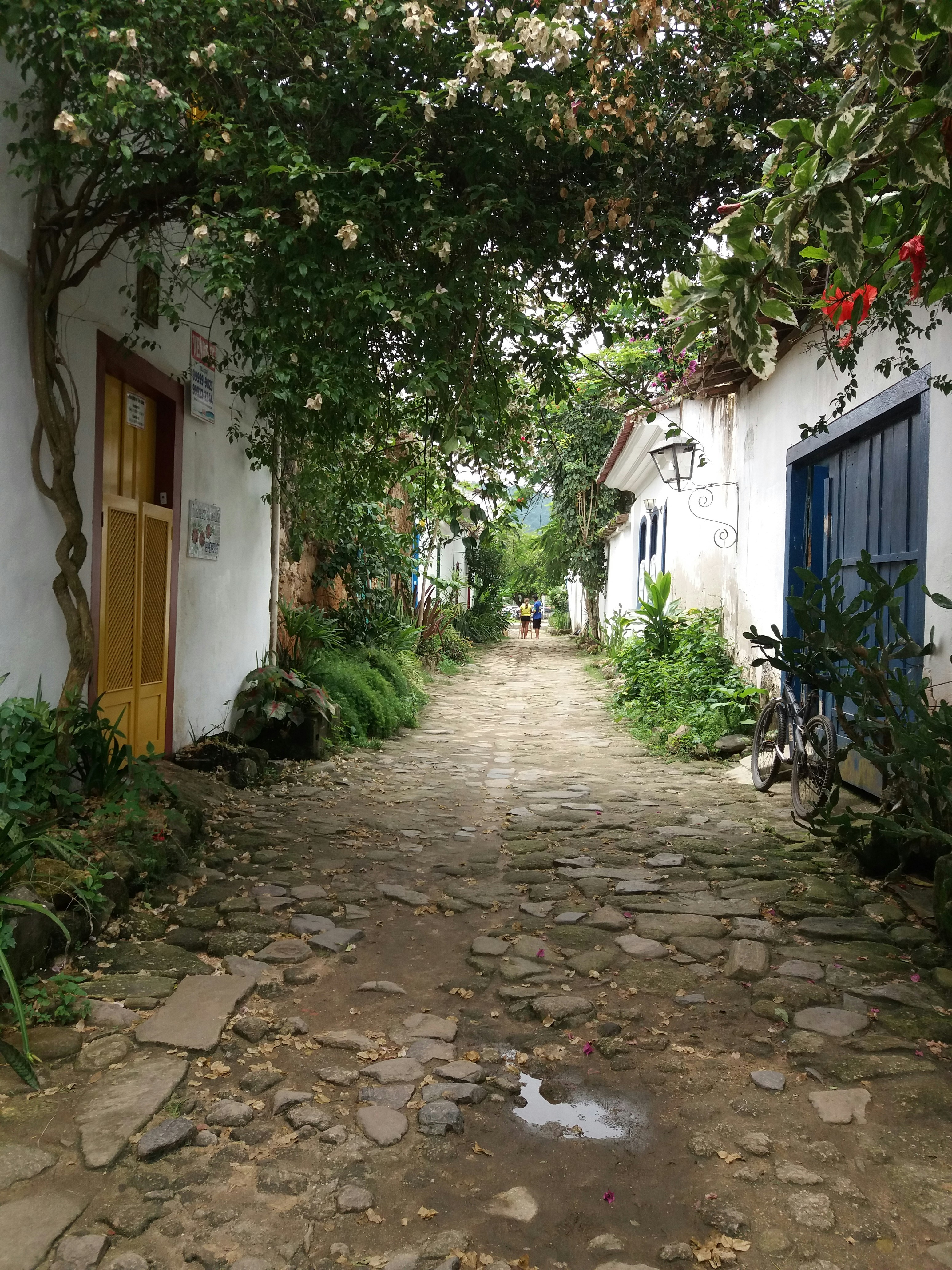
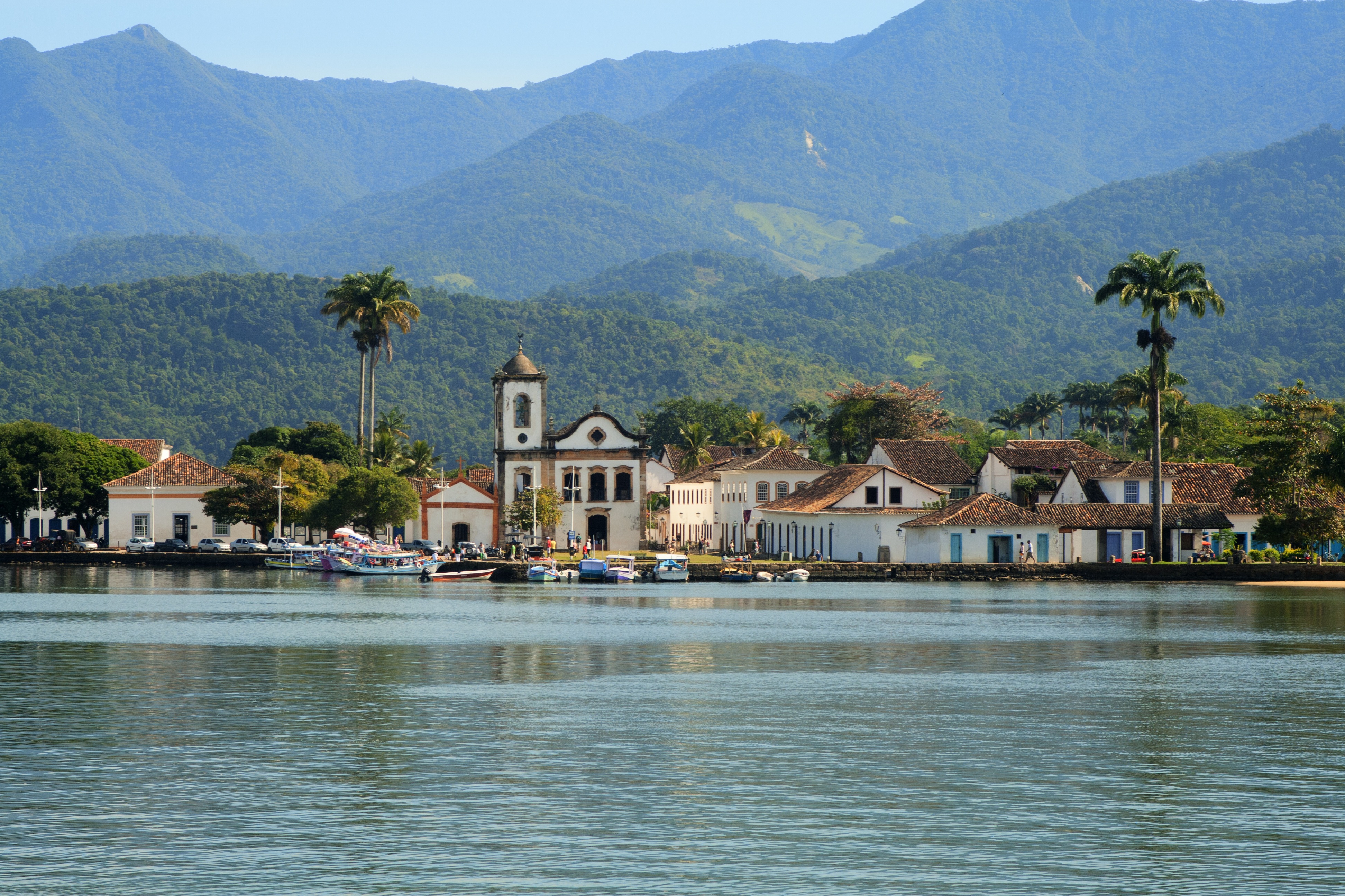
The Costa Verde's main attraction, the coastal village of Parati, is about 180 miles south of Rio de Janeiro. Inhabited since 1660, this small town has remained fundamentally unaltered since its heyday. It was a staging post for 18th-century trade in Brazilian gold from Minas Gerais to Portugal. Raids and pirate attacks necessitated the establishment of a new route linking Minas Gerais directly with Rio de Janeiro. A decline in Parati’s fortunes resulted; being off the beaten track, it remained quietly hidden away. Today, the entire town has been declared a national historic monument by UNESCO as one of the most important examples of colonial architecture. With its newly acclaimed status, Parati has become a popular destination. Its beautifully restored colonial buildings line narrow, cobbled streets which are closed to vehicular traffic. Parati's population of some 15,000 people depends on fishing, farming and tourism for its livelihood. Local artists display their attractive crafts in galleries and souvenir shops. The town, reached via a long pier from the tender landing, must be explored on foot. Among Parati’s attractions is the 1722 Church of Santa Rita de Cassia, a classic example of Brazilian baroque architecture. The surrounding area boasts a scenic backdrop with green-clad mountains and numerous islands are scattered across the bay.

Paraty, Parati   Estado De R铆o De Janeiro, Brasil
Paraty, Parati Estado De R铆o De Janeiro, BrasilPhoto by Rebecca Hausner on Unsplash
Parati, Brazil
Parati, BrazilImage by Auluz Auluz from Pixabay

Day 31 - São Paulo

Further details for this day are not available.

São Paulo, Sp, Brasil
São Paulo, Sp, BrasilBruno Thethe
Avenida Paulista   Bela Vista, São Paulo   Sp, Brasil
Avenida Paulista Bela Vista, São Paulo Sp, BrasilBianca Monteiro
State Of São Paulo, Brazil
State Of São Paulo, BrazilJoao Tzanno
São Paulo, État De São Paulo, Brésil
São Paulo, État De São Paulo, BrésilLoïc Fürhoff
Bove The Towers In The Southern Morumbi, Neighbourhood In São Paulo
Bove The Towers In The Southern Morumbi, Neighbourhood In São PauloRenan
Ponte Estaiada, São Paulo, Brasil
Ponte Estaiada, São Paulo, BrasilRaphael Nogueira
São Paulo, Brazil
São Paulo, BrazilJoao Tzanno
Avenida Paulista   Centro Histórico De São Paulo, São Paulo   Sp, Brasil
Avenida Paulista Centro Histórico De São Paulo, São Paulo Sp, BrasilNathana Rebouças
São Paulo, Sp, Brasil
São Paulo, Sp, BrasilBruno Thethe
São Paulo, São Paulo, Brazil
São Paulo, São Paulo, BrazilRoman Lezhnin

Day 32 - Porto Belo

Further details for this day are not available.

Porto Belo
Porto BeloPhoto from Pixabay

Day 33 - At Sea

Further details for this day are not available.

Day 34 - Rio Grande

Further details for this day are not available.

Rio Grande, Brazil
Rio Grande, BrazilImage by WikiImages from Pixabay

Day 35 - Punta del Este

Often likened to the Hamptons or St-Tropez, Punta del Este is a flashy destination where parties run nonstop in peak season. But it is also a destination that draws a range of beachgoers to its shores, from summering families to the celebrity jet-set. There's a bustling city on the beach downtown, as well as quiet countryside populated solely with upscale ranches called chacras or estancias, and creative, buzzing hamlets like La Barra and José Ignacio. Though it's pricey and at times a logistical challenge to get around, everyone finds something about Punta to love.The resort takes its name from the "east point" marking the division of the Río de la Plata on the west from the Atlantic Ocean to the east. It also lends its name to the broader region encompassing the nearby communities of Punta Ballena and La Barra de Maldonado. These days even José Ignacio, some 20 miles away, is grouped in. It's usually a given that Argentina’s upper class spends at least part of the summer in Punta, soaking in the ample rays.

Punta Del Este, Uruguay
Punta Del Este, UruguayPhoto by Pedro Slinger on Unsplash

Day 36 - Montevideo

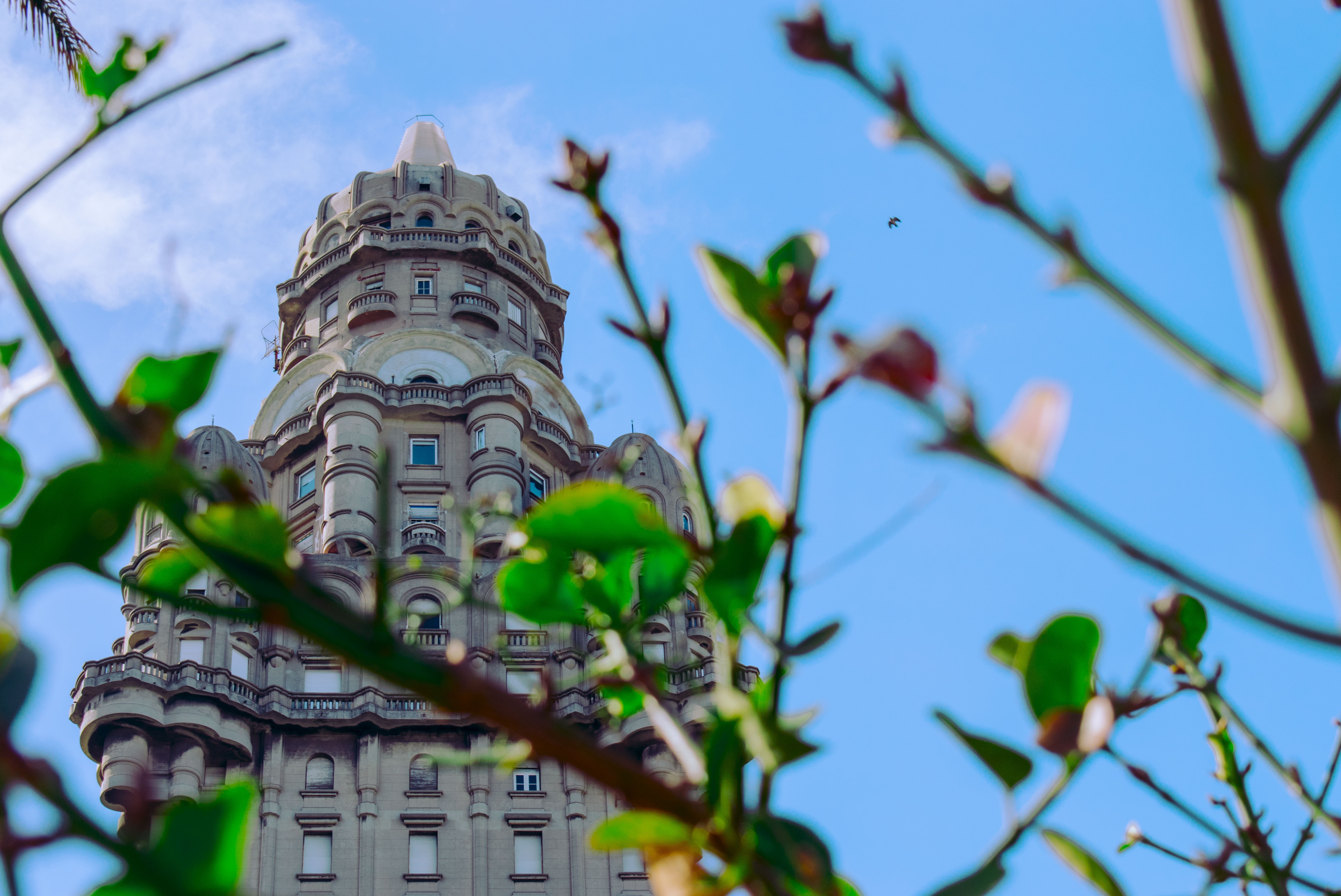
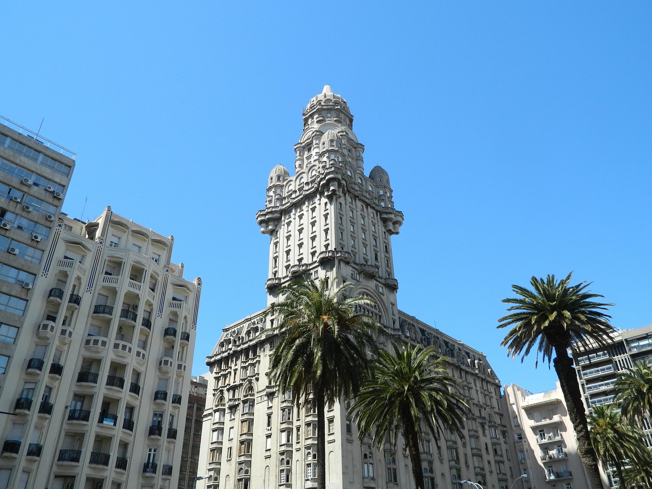
Uruguay’s capital city hugs the eastern bank of the Río de la Plata. A massive coastal promenade (malecón) that passes fine beaches, restaurants, and numerous parks recalls the sunny sophistications of the Mediterranean and is always dotted with Montevideans strolling, exercising, and lounging along the water. Montevideo has its share of glitzy shopping avenues and modern office buildings, balanced with its historic old city and sumptuous colonial architecture, as well as numerous leafy plazas and parks. It is hard not to draw comparisons to its sister city Buenos Aires across the river, and indeed Montevideo strikes many as a calmer, more manageable incarnation of Argentina's capital.When the weather's good, La Rambla, a 22-km (14-mile) waterfront avenue that links the Old City with the eastern suburbs and changes names about a dozen times, gets packed with fishermen, ice-cream vendors, and joggers. Around sunset, volleyball and soccer games wind down as couples begin to appear for evening strolls. Polls consistently rate Montevideo as having the highest quality of life of any city in Latin America. After one visit here, especially on a lovely summer evening, you probably will agree.

Montevideo, Uruguay
Montevideo, UruguayImage by hernansuarez28 from Pixabay
Montevideo,Uruguay
Montevideo,UruguayImage by pirizluz from Pixabay

Day 37 - Buenos Aires

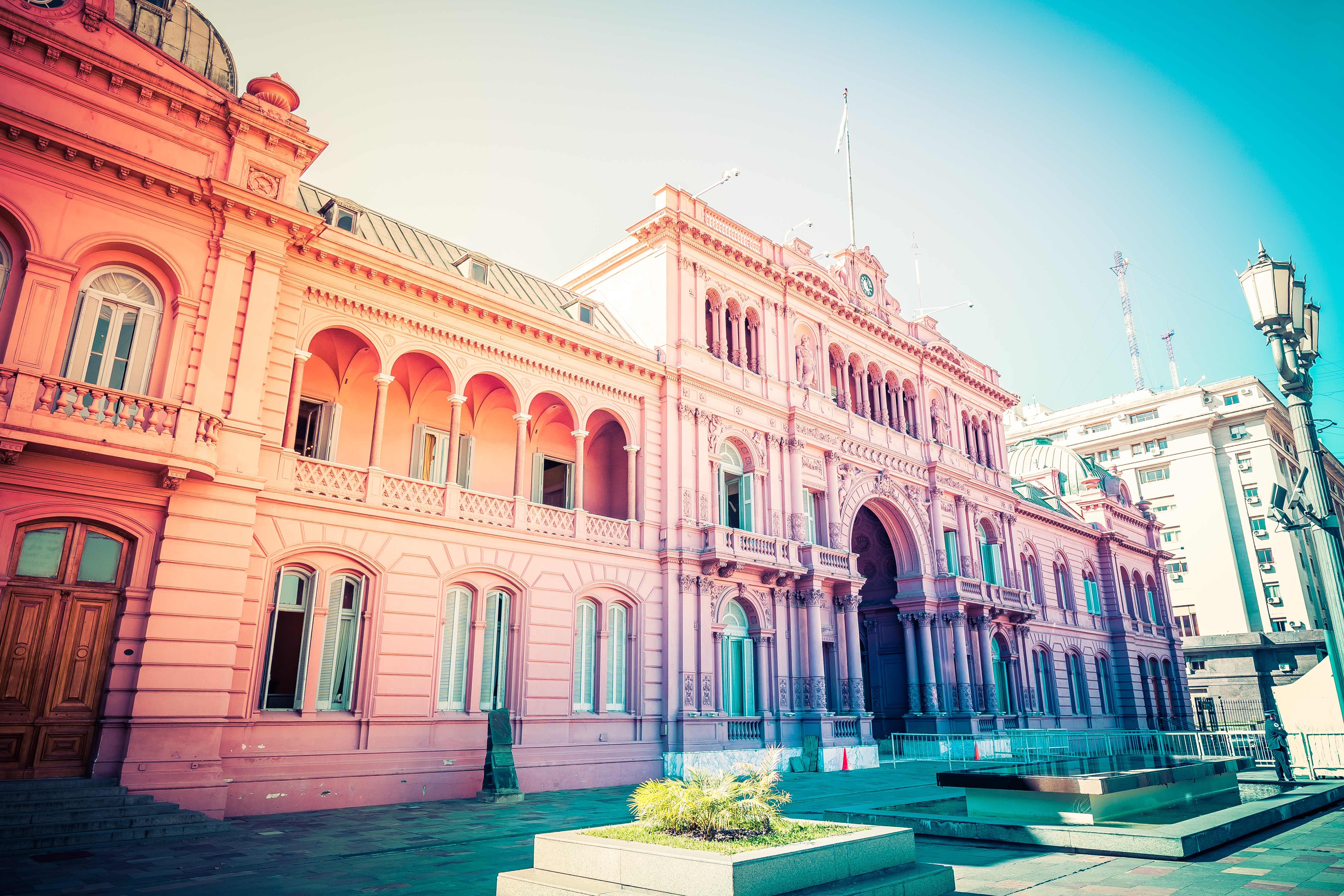
Glamorous and gritty, Buenos Aires is two cities in one. What makes Argentina's capital so fascinating is its dual heritage—part European, part Latin American. Plaza de Mayo resembles a grand square in Madrid, and the ornate Teatro Colón would not be out of place in Vienna. But you’ll know you’re in South America by the leather shoes for sale on cobbled streets and impromptu parades of triumphant soccer fans. Limited-production wines, juicy steaks, and ice cream in countless flavors are among the old-world imports the city has perfected.

Arbue   Buenos Aires, Argentina Rafael Leao
Arbue Buenos Aires, Argentina Rafael LeaoRafael Leao
Arbue   Buenos Aires, Argentina Sadie Teper
Arbue Buenos Aires, Argentina Sadie TeperSadie Teper
Arbue   Buenos Aires, Argentina Sander Crombach
Arbue Buenos Aires, Argentina Sander CrombachSander Crombach

Day 38 - At Sea

Further details for this day are not available.

Day 39 - At Sea

Further details for this day are not available.

Day 40 - At Sea

Further details for this day are not available.

Day 41 - Port Stanley

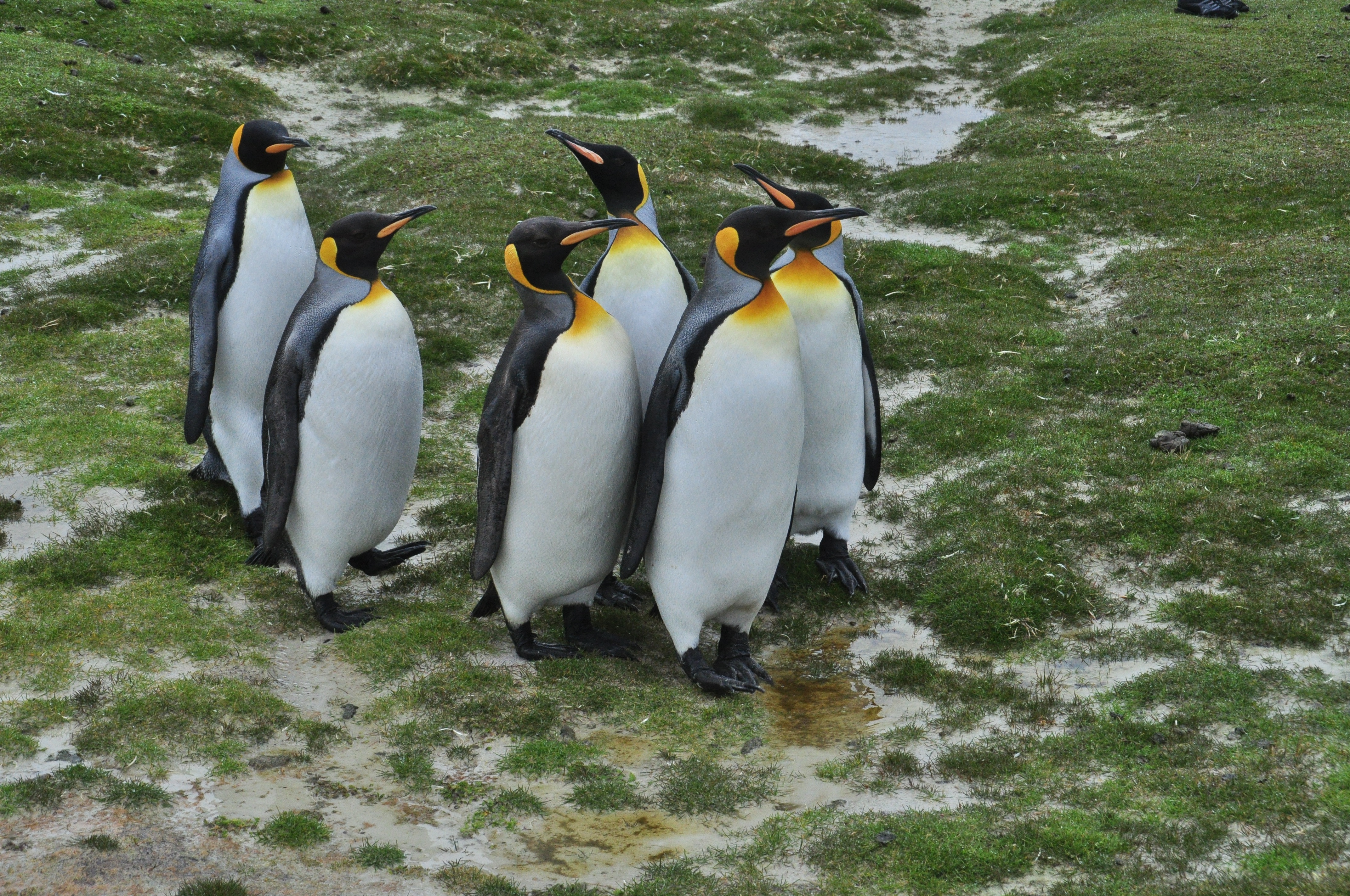
Tiny Stanley, capital of the Falklands, seems in many ways like a British village fallen out of the sky. Many homes are painted in bright colours, adding visual appeal to this distant outpost. Not far offshore, the wreck of the Lady Elizabeth, is one of the many vessels remaining as a silent testimonial to the region's frequent harsh weather conditions.The islands, also known by their Spanish name of Islas Malvinas, are home to arguably more tuxedo-clad inhabitants of the penguin variety than human residents. Various species, such as Gentoo, Magellanic and the more elusive King penguins, either live here permanently or use the Falklands as a stopover on their migration route. Darwin found the islands' flora and fauna fascinating - no doubt you will, too.

Port Stanley, Falkland Islands
Port Stanley, Falkland IslandsImage by barni b from Pixabay

Day 42 - At Sea

Further details for this day are not available.

Day 43 - Sailing along the Antarctic Peninsula

Further details for this day are not available.

Day 44 - Sailing along the Antarctic Peninsula

Further details for this day are not available.

Day 45 - Cruising Drake Passage

Further details for this day are not available.

Day 46 - Ushuaia

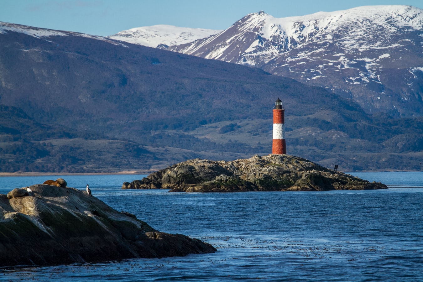
At 55 degrees latitude south, Ushuaia (pronounced oo-swy-ah) is closer to the South Pole than to Argentina's northern border with Bolivia. It is the capital and tourism base for Tierra del Fuego, the island at the southernmost tip of Argentina.Although its stark physical beauty is striking, Tierra del Fuego's historical allure is based more on its mythical past than on rugged reality. The island was inhabited for 6,000 years by Yámana, Haush, Selk'nam, and Alakaluf Indians. But in 1902 Argentina, eager to populate Patagonia to bolster its territorial claims, moved to initiate an Ushuaian penal colony, establishing the permanent settlement of its most southern territories and, by implication, everything in between.When the prison closed in 1947, Ushuaia had a population of about 3,000, made up mainly of former inmates and prison staff. Today the Indians of Darwin's "missing link" theory are long gone—wiped out by diseases brought by settlers and by indifference to their plight—and the 60,000 residents of Ushuaia are hitching their star to tourism.The city rightly (if perhaps too loudly) promotes itself as the southernmost city in the world (Puerto Williams, a few miles south on the Chilean side of the Beagle Channel, is a small town). You can make your way to the tourism office to get your clichéd, but oh-so-necessary, "Southernmost City in the World" passport stamp. Ushuaia feels like a frontier boomtown, at heart still a rugged, weather-beaten fishing village, but exhibiting the frayed edges of a city that quadrupled in size in the '70s and '80s and just keeps growing. Unpaved portions of Ruta 3, the last stretch of the Pan-American Highway, which connects Alaska to Tierra del Fuego, are finally being paved. The summer months (December through March) draw more than 120,000 visitors, and dozens of cruise ships. The city is trying to extend those visits with events like March's Marathon at the End of the World and by increasing the gamut of winter activities buoyed by the excellent snow conditions.A terrific trail winds through the town up to the Martial Glacier, where a ski lift can help cut down a steep kilometer of your journey. The chaotic and contradictory urban landscape includes a handful of luxury hotels amid the concrete of public housing projects. Scores of "sled houses" (wooden shacks) sit precariously on upright piers, ready for speedy displacement to a different site. But there are also many small, picturesque homes with tiny, carefully tended gardens. Many of the newer homes are built in a Swiss-chalet style, reinforcing the idea that this is a town into which tourism has breathed new life. At the same time, the weather-worn pastel colors that dominate the town's landscape remind you that Ushuaia was once just a tiny fishing village, snuggled at the end of the Earth.As you stand on the banks of the Canal Beagle (Beagle Channel) near Ushuaia, the spirit of the farthest corner of the world takes hold. What stands out is the light: at sundown the landscape is cast in a subdued, sensual tone; everything feels closer, softer, and more human in dimension despite the vastness of the setting. The snowcapped mountains reflect the setting sun back onto a stream rolling into the channel, as nearby peaks echo their image—on a windless day—in the still waters.Above the city rise the last mountains of the Andean Cordillera, and just south and west of Ushuaia they finally vanish into the often-stormy sea. Snow whitens the peaks well into summer. Nature is the principal attraction here, with trekking, fishing, horseback riding, wildlife spotting, and sailing among the most rewarding activities, especially in the Parque Nacional Tierra del Fuego (Tierra del Fuego National Park).

Arush   Ushuaia, Argentina   Pc To Dennis Fidalgo
Arush Ushuaia, Argentina Pc To Dennis Fidalgo
Arush   Ushuaia, Argentina   Pc To Sander Crombach
Arush Ushuaia, Argentina Pc To Sander Crombach
Arush   Ushuaia, Argentina   Pc To Seb Creativo
Arush Ushuaia, Argentina Pc To Seb Creativo

Day 47 - Punta Arenas

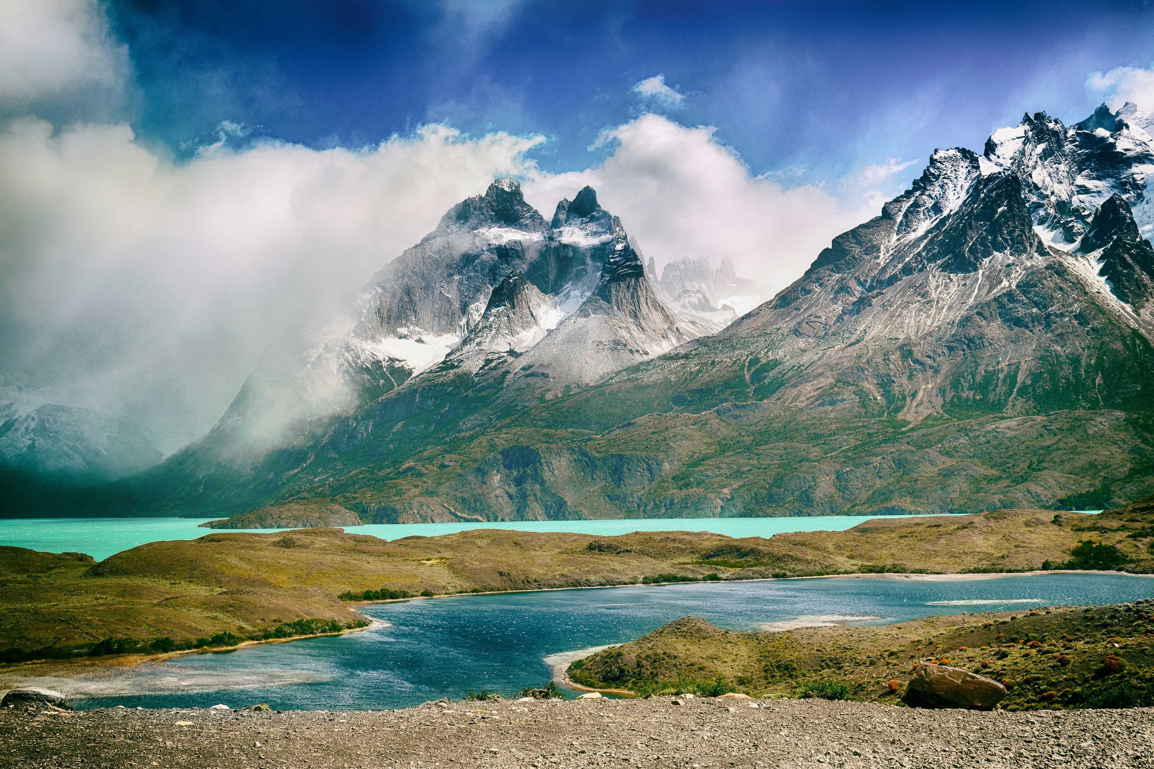
Impenetrable forests, impassable mountains, and endless fields of ice define Chilean Patagonia, and meant that the region went largely unexplored until the beginning of the 20th century. Located in the southernmost part of the country, this area is still sparsely inhabited, though you will find a few populated places—like the colorful provincial city of Punta Arenas, which looks like it's about to be swept into the Strait of Magellan. Some unique wildlife, particularly colonies of elephant seals and penguins, call this breathtaking topography home. To the north is Parque Nacional Torres del Paine, the country's most magnificent natural wonder, and whose snow-covered peaks seem to rise vertically from the plains below. The vistas, such as the fantastic Avenue of the Glaciers, are breathtaking; along this stretch of the Beagle Channel, you can pass six tremendous glaciers all within a stone's throw of each other.Cruise SightsPunta Arenas. Founded a little more than 150 years ago, Punta Arenas (Sandy Point) was Chile's first permanent settlement in Patagonia. Plaza Muñoz Gamero, the central square, is surrounded by evidence of that early prosperity: buildings whose then-opulent brick exteriors recall a time when this was one of Chile's wealthiest cities. The newer houses here have colorful tin roofs, best appreciated when seen from a high vantage point such as the Mirador Cerro la Cruz. Although the city as a whole may not be particularly attractive, look for details: the pink-and-white house on a corner, the bay window full of potted plants, parking attendants wearing the regional blue and yellow colors, and schoolchildren in identical naval pea coats that remind you that the city's fate is tied to the sea.The Museo Naval y Marítimo extols Chile's high-seas prowess, particularly concerning Antarctica. Its exhibits are worth a visit for anyone with an interest in ships and sailing, merchant and military alike. Part of the second floor is designed like the interior of a ship, including a map and radio room. Pedro Montt 989. Admission charged.Housed in what was once the mansion of the powerful Braun-Menéndez family, the Museo Regional de Magallanes is an intriguing glimpse into the daily life of a wealthy provincial family at the beginning of the 20th century. Lavish Carrara marble hearths, English bath fixtures, and cordovan leather walls are among the original accoutrements. The museum also has an excellent group of displays depicting Punta Arenas's past, from the first European contact to the town's decline after the opening of the Panama Canal. The museum is half a block north of the main square. Magallanes 949. Admission charged.The resplendent 1895 Palacio Sara Braun is a national landmark and an architectural showpiece of southern Patagonia. Designed by a French architect, the house was built from materials and by craftsmen imported from Europe during the four years of construction. The city's central plaza and surrounding buildings soon followed, ushering in the region's golden era. Noteworthy are the lavish bedrooms, magnificent parquet floors, marble fireplaces, and hand-painted ceilings. Don't miss the portraits of Braun and her husband José Nogueira in the music room. Afterwards, head to the cellar for a drink or snack in the warm public tavern (a good portion of the mansion is leased to a hotel). Plaza Muñoz Gamero 716. Admission charged.Commonly referred to simply as "El Salesiano," the Museo Salesiano de Maggiorino Borgatello is operated by Italian missionaries whose order arrived in Punta Arenas in the 19th century. The Salesians, most of whom spoke no Spanish, proved to be daring explorers. Traveling throughout the region, they collected the artifacts made by indigenous tribes that are currently on display. Av. Bulnes 398. Admission charged.Isla Magdalena. Punta Arenas is the launching point for a boat trip to the Isla Magdalena to see the more than 100,000 Magellanic penguins at the Monumento Natural Los Pingúinos. A single trail, marked off by rope, is accessible to humans. The boat trip to the island, in the middle of the Estrecho de Magallanes, takes about two hours. Make sure to bring along warm clothing, even in summer; the island can be chilly, particularly if a breeze is blowing across the water.Parque Nacional Torres del Paine. Some 12 million years ago, lava flows pushed up through the thick sedimentary crust that covered the southwestern coast of South America, cooling to form a granite mass. Glaciers then swept through the region, grinding away all but the ash-gray spires that rise over the landscape of one of the world's most beautiful natural phenomena, now the Parque Nacional Torres del Paine (established in 1959). Snow formations dazzle along every turn of road, and the sunset views are spectacular.Among the 2,420-square-km (934-square-mi) park's most beautiful attractions are its lakes of turquoise, aquamarine, and emerald green waters. Another draw is its unusual wildlife. Creatures like the guanaco (a woollier version of the llama) and the ñandú (resembling a small ostrich) abound. They are used to visitors and don't seem to be bothered by the proximity of automobile traffic and the snapping of cameras. Predators, like the gray fox, make less frequent appearances. You may also spot the dramatic aerobatics of a falcon and the graceful soaring of the endangered condor. The beautiful puma is especially elusive, but sightings have become more common. Admission charged.Pingúinera de Seno Otway. The road to this penguin sanctuary begins 30 km (18 mi) north of Punta Arenas. Magellanic penguins, which live up to 20 years in the wild, return to their birthplace here every year to mate with the same partner. For about 2,000 penguin couples—no single penguins make the trip—home is this desolate and windswept land off the Otway Sound. In late September, the penguins begin to arrive from the southern coast of Brazil and the Falkland Islands. They mate and lay their eggs in early October, and brood their eggs in November. Offspring hatch between mid-November and early December. If you're lucky, you may catch sight of one of the downy gray chicks that stick their heads out of the burrows when their parents return to feed them. Otherwise you might see scores of the ungainly adult penguins waddling to the ocean from their nesting burrows. They swim for food every eight hours and dive up to 100 feet deep. The penguins depart from the sound in late March. Note that the sanctuary is a 1-km (1/2-mi) walk from the parking lot. It gets chilly, so bring a windbreaker. Admission charged.Reserva Nacional Laguna Parillar. This 47,000-acre reserve lies west of Puerto Hambre, a tranquil fishing village, and is centered around a shimmering lake in a valley flanked by hills. It's a great place for a picnic, and there are a number of well-marked paths that offer sweeping vistas over the Estrecho de Magallanes. About 2 km (1 mi) west of Puerto Hambre is a small white monolith that marks the geographical center of Chile, the midway point between Chile's northern port Arica and the South Pole.Cruise ShoppingWool may no longer be king of the economy, but vast flocks of sheep still yield a high-quality product that is woven into the clothing here. Leather products are also common, but the prices are not necessarily low. About 3 km (2 mi) north of Punta Arenas is the Zona Franca (Av. Bulnes). This duty-free zone is where people from all around the region come for low-priced electronics and other consumer items.
Torres Del Paine National Park, Puntas Arenas, Chile
Torres Del Paine National Park, Puntas Arenas, ChilePhoto by Olga Stalska on Unsplash
Punta Arenas, Chile
Punta Arenas, ChileImage by Monica Volpin from Pixabay

Day 48 - Cruising the Chilean Fjords

Further details for this day are not available.

Day 49 - Cruising the Chilean Fjords

Further details for this day are not available.

Day 50 - Puerto Chacabuco

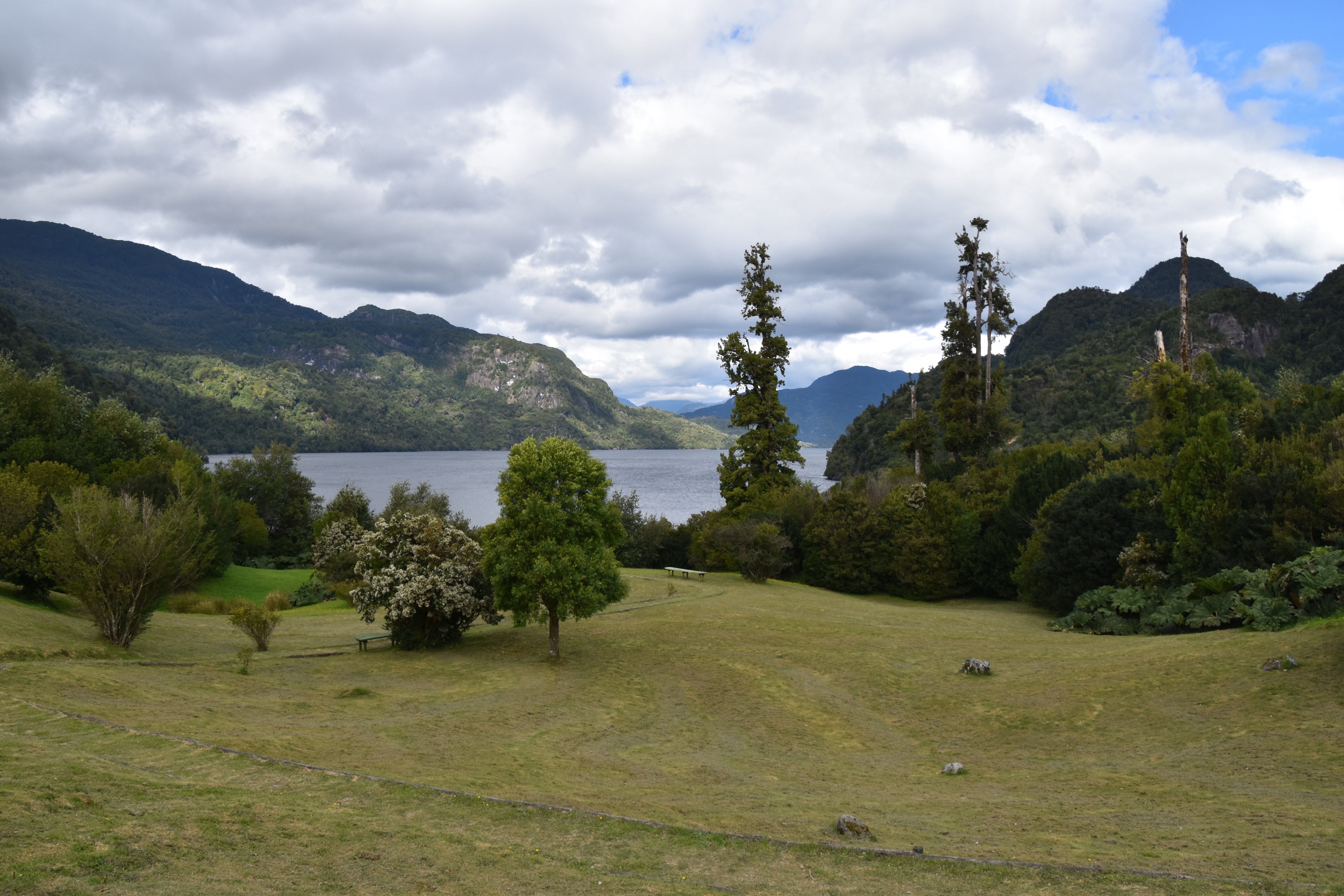
The drive from Coyhaique to the town of Puerto Aisén and its port, Chacabuco, is beautiful. The mist hangs low over farmland, adding a dripping somnolence to the scenery. Dozens of waterfalls and rivers wend their way through mountain formations. Yellow poplars surround charming rustic lodges, and sheep and cattle graze on mossy, vibrant fields. The picture of serenity terminates at the sea, where the nondescript town of Puerto Aisén and its port Chacabuco, Coyhaique's link to the ocean, sits, a conduit to further beauty. This harbor ringed by snowcapped mountains is where you board the ferries that transport you north to Puerto Montt in the Lake District and Quellón on Chiloé, as well as boats headed south to the spectacular Laguna San Rafael.

Puerto Chacabuco
Puerto ChacabucoImage by Anna Neuenschannder from Pixabay

Day 51 - Puerto Montt

For most of its history, windy Puerto Montt was the end of the line for just about everyone traveling in the Lake District. Now the Carretera Austral carries on southward, but for all intents and purposes Puerto Montt remains the region's last significant outpost, a provincial city that is the hub of local fishing, textile, and tourist activity.Today the city center is full of malls, condos, and office towers—it's the fastest-growing city in Chile—but away from downtown, Puerto Montt consists mainly of low clapboard houses perched above its bay, the Seno de Reloncaví. If it's a sunny day, head east to Playa Pelluco or one of the city's other beaches. If you're more interested in exploring the countryside, drive along the shore for a good view of the surrounding hills.
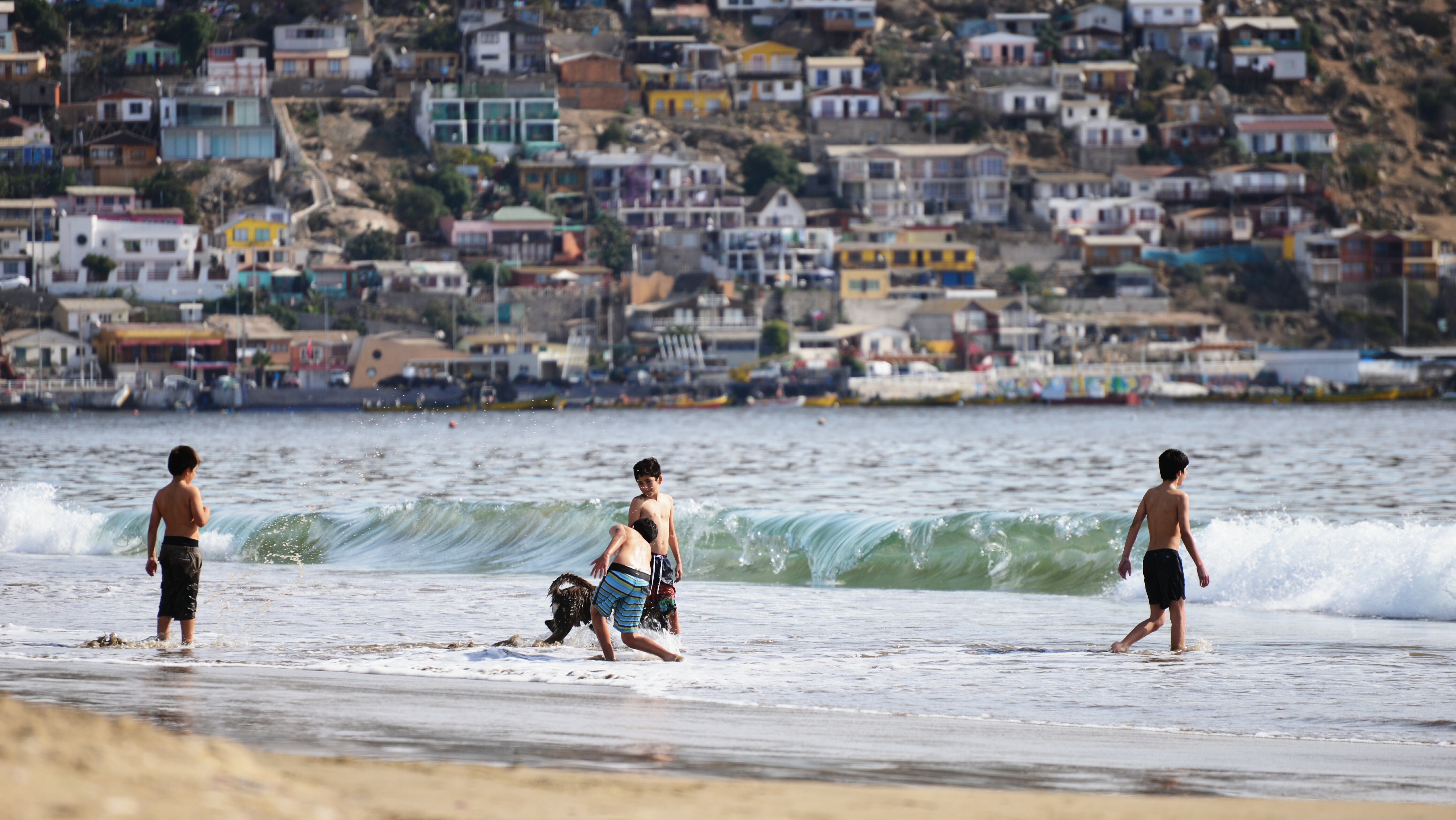
Kids Playing On The Beach Near Puerto Montt
Kids Playing On The Beach Near Puerto MonttImage by Patricio Hurtado from Pixabay

Day 52 - At Sea

Further details for this day are not available.

Day 53 - San Antonio

Further details for this day are not available.

San Antonio, Gateway To Chile And Santiago
San Antonio, Gateway To Chile And SantiagoImage by Luis Eduardo Bastias from Pixabay

Day 54 - At Sea

Further details for this day are not available.

Day 55 - At Sea

Further details for this day are not available.

Day 56 - At Sea

Further details for this day are not available.

Day 57 - Callao

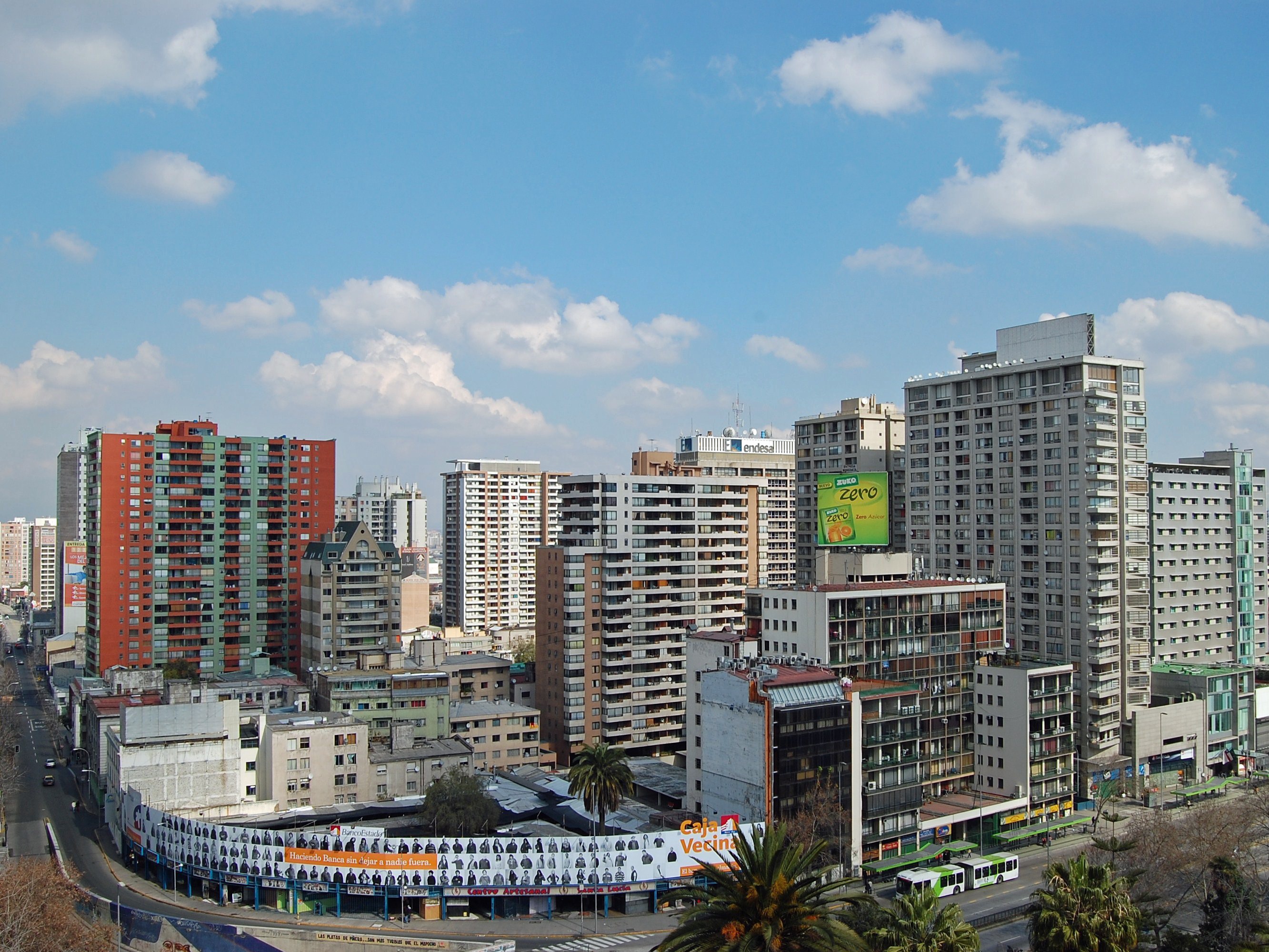
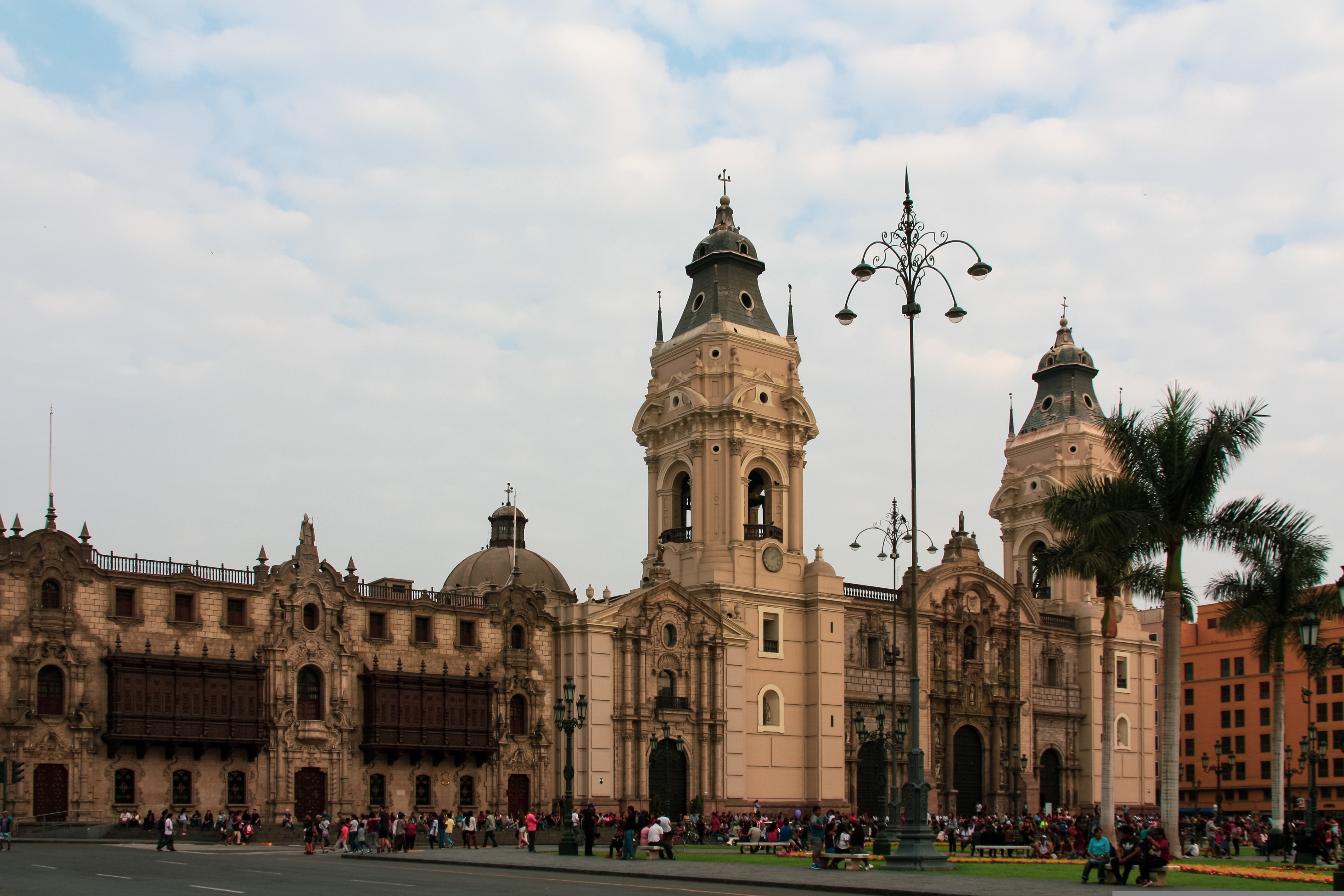
When people discuss great South American cities, Lima is often overlooked. But Peru's capital can hold its own against its neighbors. It has an oceanfront setting, colonial-era splendor, sophisticated dining, and nonstop nightlife.It's true that the city—clogged with traffic and choked with fumes—doesn't make a good first impression, especially since the airport is in an industrial neighborhood. But wander around the regal edifices surrounding the Plaza de Armas, among the gnarled olive trees of San Isidro's Parque El Olivar, or along the winding lanes in the coastal community of Barranco, and you'll find yourself charmed.In 1535 Francisco Pizarro found the perfect place for the capital of Spain's colonial empire. On a natural port, the so-called Ciudad de los Reyes (City of Kings) allowed Spain to ship home all the gold the conquistador plundered from the Inca. Lima served as the capital of Spain's South American empire for 300 years, and it's safe to say that no other colonial city enjoyed such power and prestige during this period.When Peru declared its independence from Spain in 1821, the declaration was read in the square that Pizarro had so carefully designed. Many of the colonial-era buildings around the Plaza de Armas are standing today. Walk a few blocks in any direction for churches and elegant houses that reveal just how wealthy this city once was. But the poor state of most buildings attests to the fact that the country's wealthy families have moved to neighborhoods to the south over the past century.The walls that surrounded the city were demolished in 1870, making way for unprecedented growth. A former hacienda became the graceful residential neighborhood of San Isidro. In the early 1920s the construction of tree-lined Avenida Arequipa heralded the development of neighborhoods such as bustling Miraflores and bohemian Barranco.Almost a third of the country's population of 29 million lives in the metropolitan area, many of them in relatively poor conos: newer neighborhoods on the outskirts of the city. Most residents of those neighborhoods moved there from mountain villages during the political violence and poverty that marked the 1980s and ’90s, when crime increased dramatically. During the past decade the country has enjoyed peace and steady economic growth, which have been accompanied by many improvements and refurbishment in the city. Residents who used to steer clear of the historic center now stroll along its streets. And many travelers who once would have avoided the city altogether now plan to spend a day here and end up staying two or three.

Callao, Port Of Lima
Callao, Port Of LimaImage by Patricia van den Berg from Pixabay

Day 58 - Callao

When people discuss great South American cities, Lima is often overlooked. But Peru's capital can hold its own against its neighbors. It has an oceanfront setting, colonial-era splendor, sophisticated dining, and nonstop nightlife.It's true that the city—clogged with traffic and choked with fumes—doesn't make a good first impression, especially since the airport is in an industrial neighborhood. But wander around the regal edifices surrounding the Plaza de Armas, among the gnarled olive trees of San Isidro's Parque El Olivar, or along the winding lanes in the coastal community of Barranco, and you'll find yourself charmed.In 1535 Francisco Pizarro found the perfect place for the capital of Spain's colonial empire. On a natural port, the so-called Ciudad de los Reyes (City of Kings) allowed Spain to ship home all the gold the conquistador plundered from the Inca. Lima served as the capital of Spain's South American empire for 300 years, and it's safe to say that no other colonial city enjoyed such power and prestige during this period.When Peru declared its independence from Spain in 1821, the declaration was read in the square that Pizarro had so carefully designed. Many of the colonial-era buildings around the Plaza de Armas are standing today. Walk a few blocks in any direction for churches and elegant houses that reveal just how wealthy this city once was. But the poor state of most buildings attests to the fact that the country's wealthy families have moved to neighborhoods to the south over the past century.The walls that surrounded the city were demolished in 1870, making way for unprecedented growth. A former hacienda became the graceful residential neighborhood of San Isidro. In the early 1920s the construction of tree-lined Avenida Arequipa heralded the development of neighborhoods such as bustling Miraflores and bohemian Barranco.Almost a third of the country's population of 29 million lives in the metropolitan area, many of them in relatively poor conos: newer neighborhoods on the outskirts of the city. Most residents of those neighborhoods moved there from mountain villages during the political violence and poverty that marked the 1980s and ’90s, when crime increased dramatically. During the past decade the country has enjoyed peace and steady economic growth, which have been accompanied by many improvements and refurbishment in the city. Residents who used to steer clear of the historic center now stroll along its streets. And many travelers who once would have avoided the city altogether now plan to spend a day here and end up staying two or three.

Callao, Port Of Lima
Callao, Port Of LimaImage by Patricia van den Berg from Pixabay

Day 59 - Salaverry

Located about nine hours north of Lima, Trujillo was founded in 1534 by the Spanish conquistador Pizarro. The attractive, colonial city retains much of its original charm with elegant casonas, or mansions, lining the streets. Nearby is Chan Chan, the ancient capital of the Chimú, a local Indian tribe who came under the rule of the Incas. The area has several other Chimú sites, some dating back about 1500 years. The region is also famous as the home of the Peruvian Paso horses, as well as excellent beaches offering world-class surfing and other water sports.

Salaverry, Peru
Salaverry, Peru

Day 60 - At Sea

Further details for this day are not available.

Day 61 - Manta

Further details for this day are not available.

Manta Beach
Manta BeachImage by Kanenori from Pixabay

Day 62 - At Sea

Further details for this day are not available.

Day 63 - Golfito

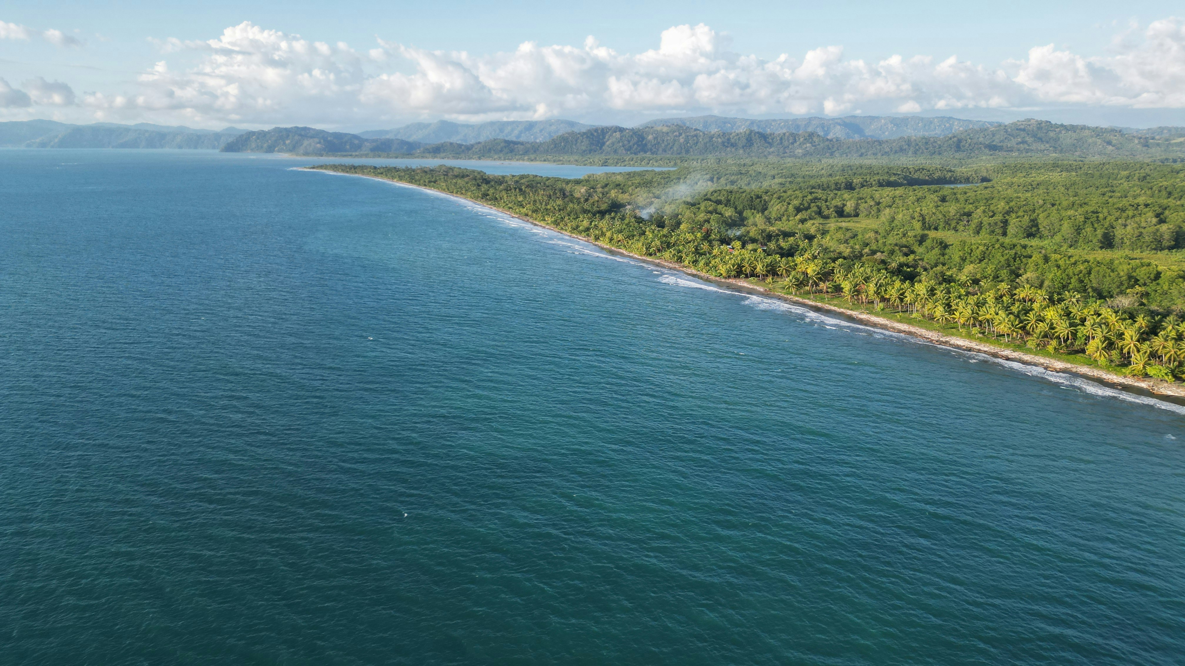
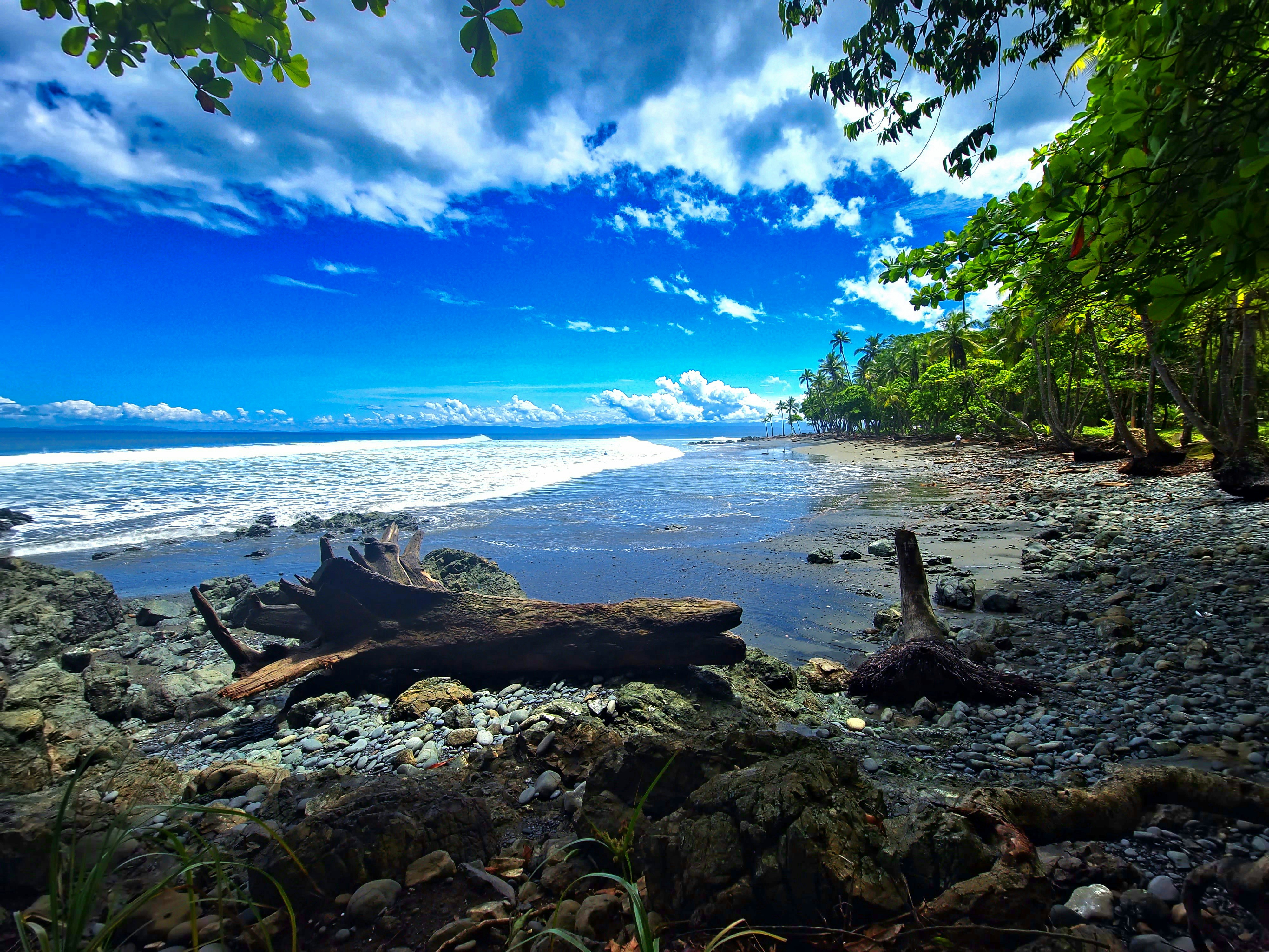
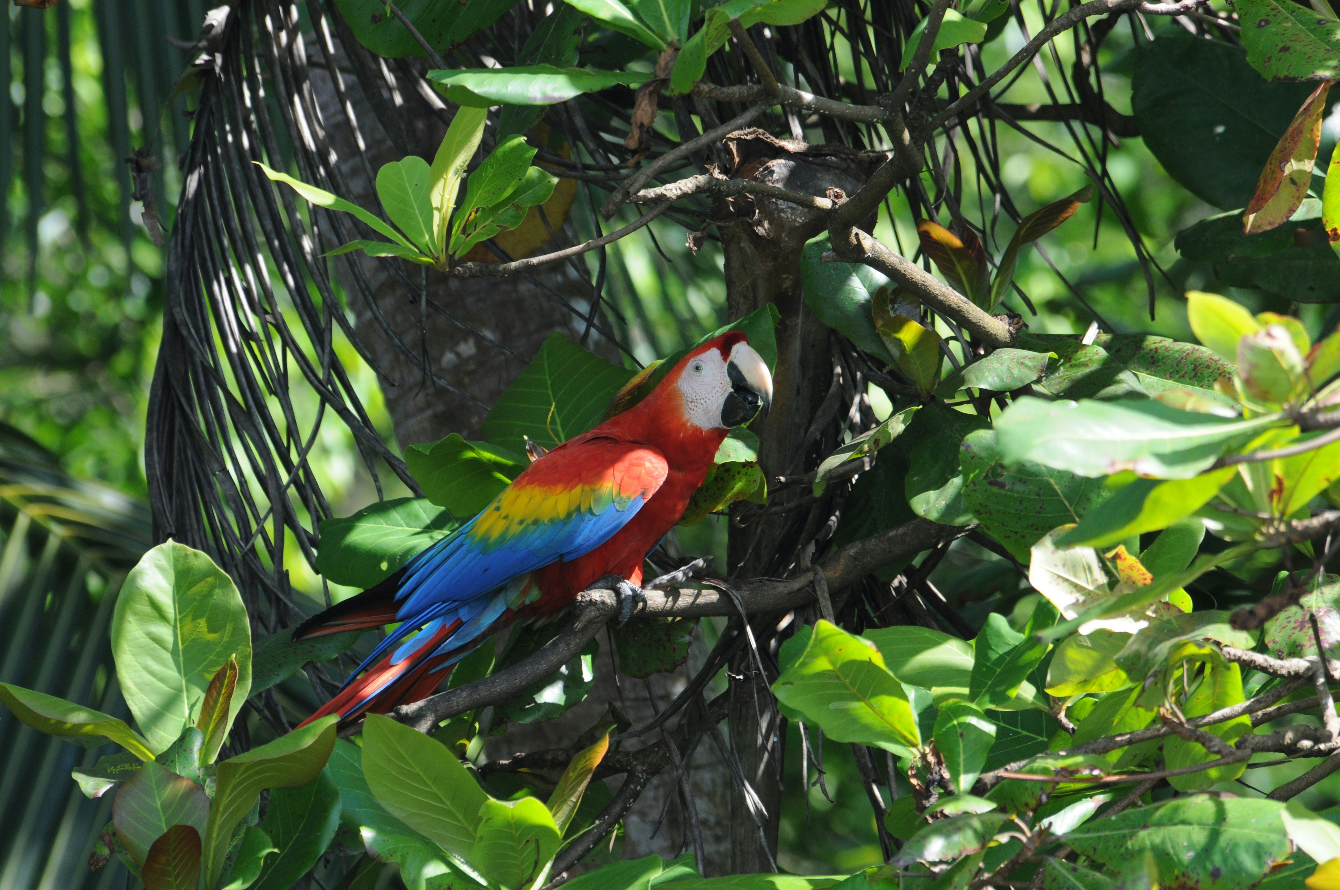
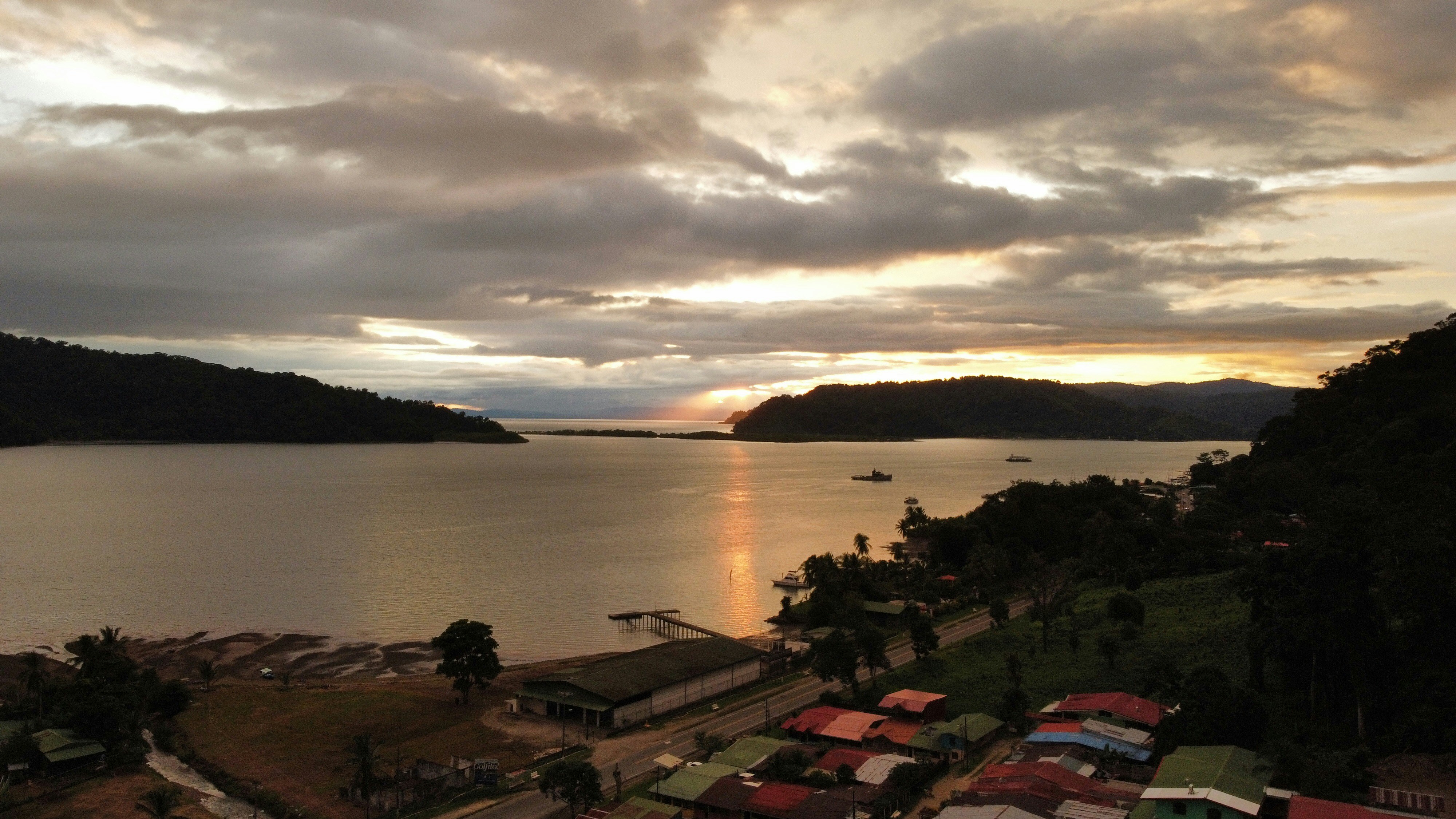
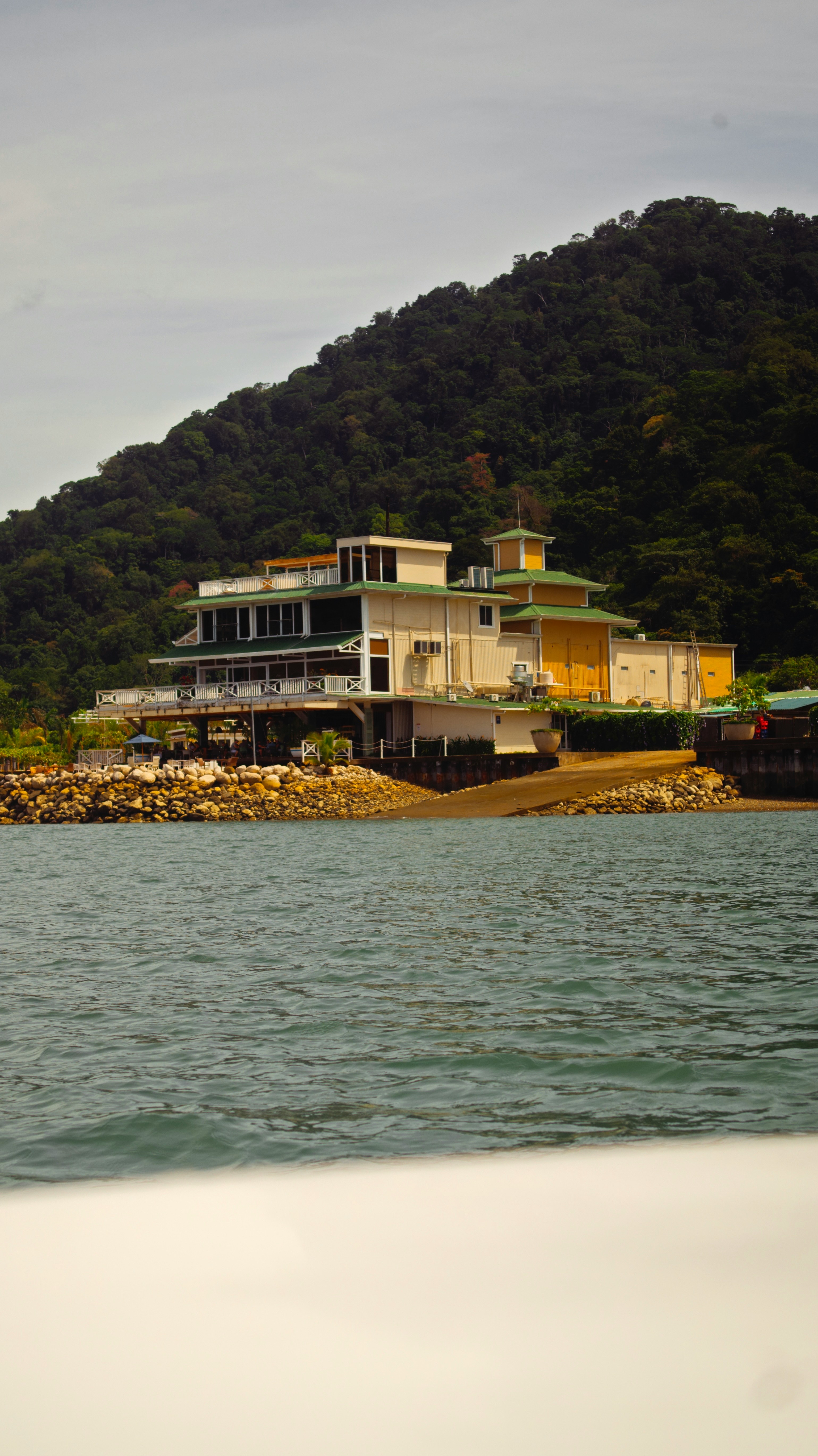
Golfito, is situated along a small inlet of Golfo Dulce. This small port city is a narrow strip along Golfito Bay backed against steep green hills covered with pristine rainforest, with the Golfo Dulce seaward outside Golfito Bay. Surrounded by tropical rainforest, Golfito provides an ideal location to escape from your hectic schedule and enjoy some of the most beautiful beaches in Costa Rica with a stunning backdrop of verdant hills and lush rainforest. Follow a trail through the densely forested Golfito National Wildlife Refuge to observe rare flora and fauna, and emerge at a scenic outlook with views of the ocean, also the city has a variety of hotels and restaurants, many of which now provide free wireless Internet service for customers. Golfito was the main port on the South Pacific Coast of Costa Rica in the days when there was little except for the huge banana plantations. To help remedy the resulting economy decrease of the region, the government established a duty-free zone, support and impulse the touristic development.

The Zancudo Lodge, Golfito, Costa Rica
The Zancudo Lodge, Golfito, Costa RicaAdrian Gonzalez Perez
Playa Pavones, Golfito, Costa Rica
Playa Pavones, Golfito, Costa RicaArmando Miranda
Golfito, Golfito, Costa Rica
Golfito, Golfito, Costa RicaCharlotte Rush
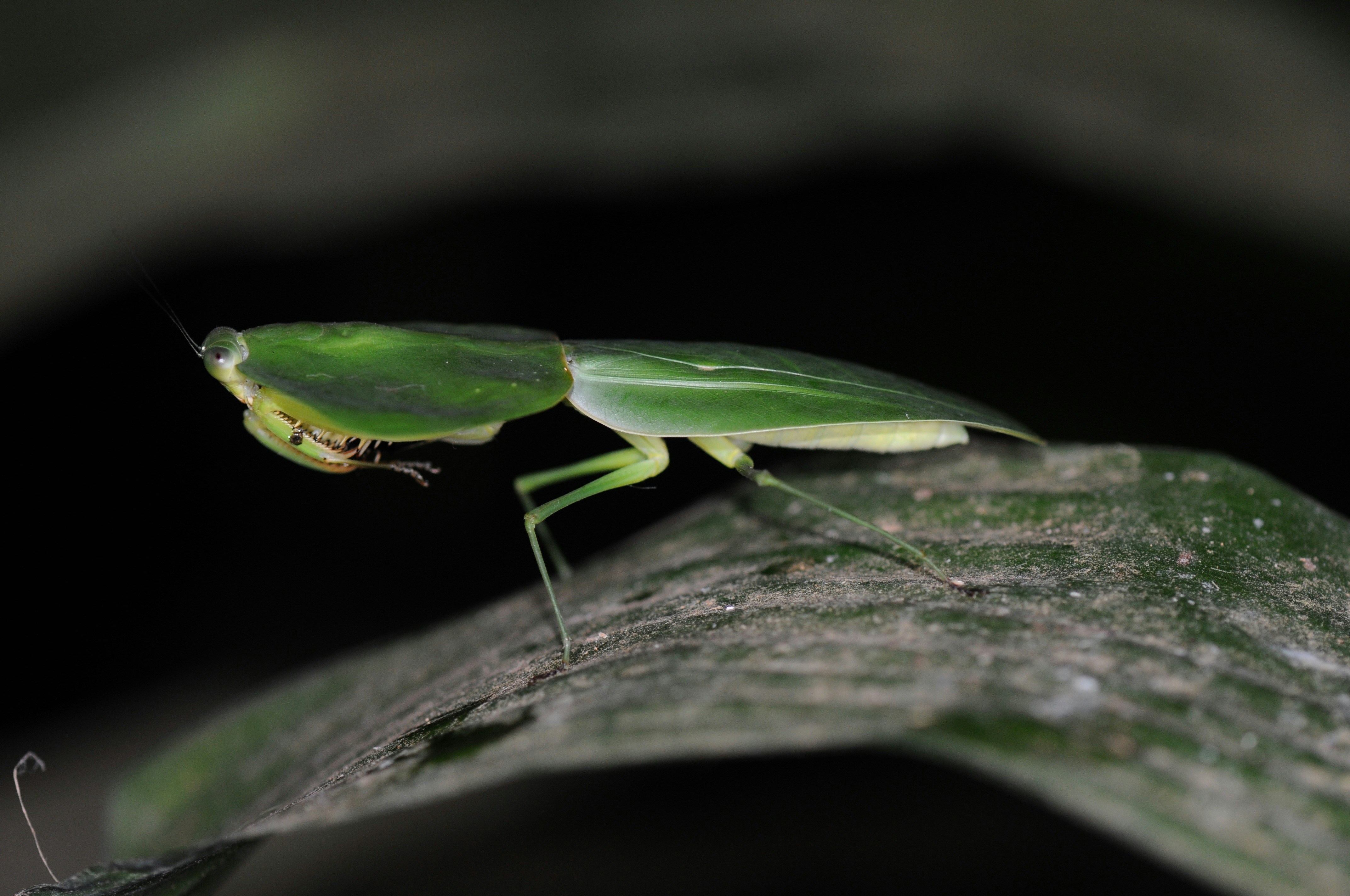
Praying Mantis, Corcovado National Park, Golfito, Costa Rica
Praying Mantis, Corcovado National Park, Golfito, Costa RicaRichard Goggin
Corcovado National Park, Golfito, Costa Rica
Corcovado National Park, Golfito, Costa RicaRichard Goggin
Golfito, Golfito, Costa Rica
Golfito, Golfito, Costa RicaYorjany Solorzano
Golfito, Golfito, Costa Rica
Golfito, Golfito, Costa RicaYorjany Solorzano

Day 64 - At Sea

Further details for this day are not available.

Day 65 - Puerto Quetzal

Puerto Quetzal is Guatemala's largest Pacific Ocean port. It is important for both cargo traffic and as a stop-off point for cruise liners

Puerto Quetzal, Gateway To Guatamala
Puerto Quetzal, Gateway To GuatamalaImage by DEZALB from Pixabay

Day 66 - At Sea

Further details for this day are not available.

Day 67 - At Sea

Further details for this day are not available.

Day 68 - At Sea

Further details for this day are not available.

Day 69 - Cabo San Lucas

Cabo San Lucas, a resort city on the southern tip of Mexico’s Baja California peninsula, is known for its beaches, water-based activities and nightlife. Playa El Médano is Cabo’s main beach, with outdoor restaurants and numerous bars. Past the marina is Land's End promontory, site of Playa del Amor (Lover's Beach) and El Arco, a natural archway in the seacliffs.

Mxcsl   Cabo San Lucas, Mexico   Claire Ward
Mxcsl Cabo San Lucas, Mexico Claire WardClaire Ward
Mxcsl   Cabo San Lucas, Mexico   Frankie Valentine
Mxcsl Cabo San Lucas, Mexico Frankie ValentineFrankie Valentine
Mxcsl   Cabo San Lucas, Mexico   John Cafazza
Mxcsl Cabo San Lucas, Mexico John CafazzaJohn Cafazza
Mxcsl   Cabo San Lucas, Mexico   Viktor Hughes 1
Mxcsl Cabo San Lucas, Mexico Viktor Hughes 1 Viktor Hughes
Mxcsl   Cabo San Lucas, Mexico   Viktor Hughes
Mxcsl Cabo San Lucas, Mexico Viktor HughesViktor Hughes

Day 70 - At Sea

Further details for this day are not available.

Day 71 - At Sea

Further details for this day are not available.

Day 72 - Los Angeles, California

Home of the famous Hollywood sign and Walk of Fame, Los Angeles is the place to visit for anyone interested in film and television and hoping to get a glimpse at some famous actors and artists. Stroll down the Walk and enjoy the glamorous atmosphere and famous surroundings, or take a break on the Santa Monica pier and watch the sun set on the sea.

Uslax   Los Angeles   Cityscape At Dusk   Butch Cordero
Uslax Los Angeles Cityscape At Dusk Butch CorderoButch Cordero
Uslax   Los Angeles   Downtown Skyline   John Paul Boomer Iacoangelo
Uslax Los Angeles Downtown Skyline John Paul Boomer IacoangeloJohn Paul Boomer Iacoangelo
Uslax   Los Angeles   Downtown Skyline At Night With Freeways   Michelle & Tom Grimm
Uslax Los Angeles Downtown Skyline At Night With Freeways Michelle & Tom GrimmMichelle & Tom Grimm
Uslax   Los Angeles   Malibu Cliffs   Travis Conklin
Uslax Los Angeles Malibu Cliffs Travis ConklinTravis Conklin
Uslax   Los Angeles   Malibu Pier  Long Shot    John Paul Boomer Iacoangelo
Uslax Los Angeles Malibu Pier Long Shot John Paul Boomer IacoangeloJohn Paul Boomer Iacoangelo
Uslax   Los Angeles   Paramount Studios Gate   John Paul Boomer Iacoangelo
Uslax Los Angeles Paramount Studios Gate John Paul Boomer IacoangeloJohn Paul Boomer Iacoangelo

Suites & Deck Plans

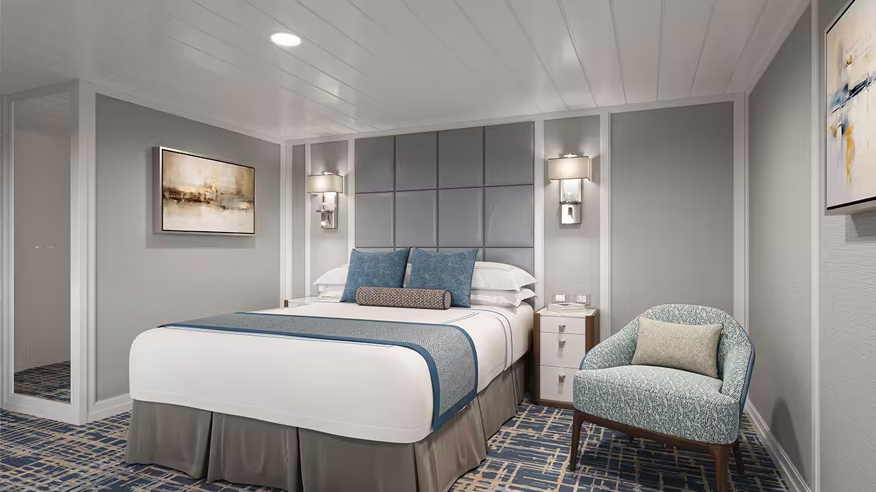
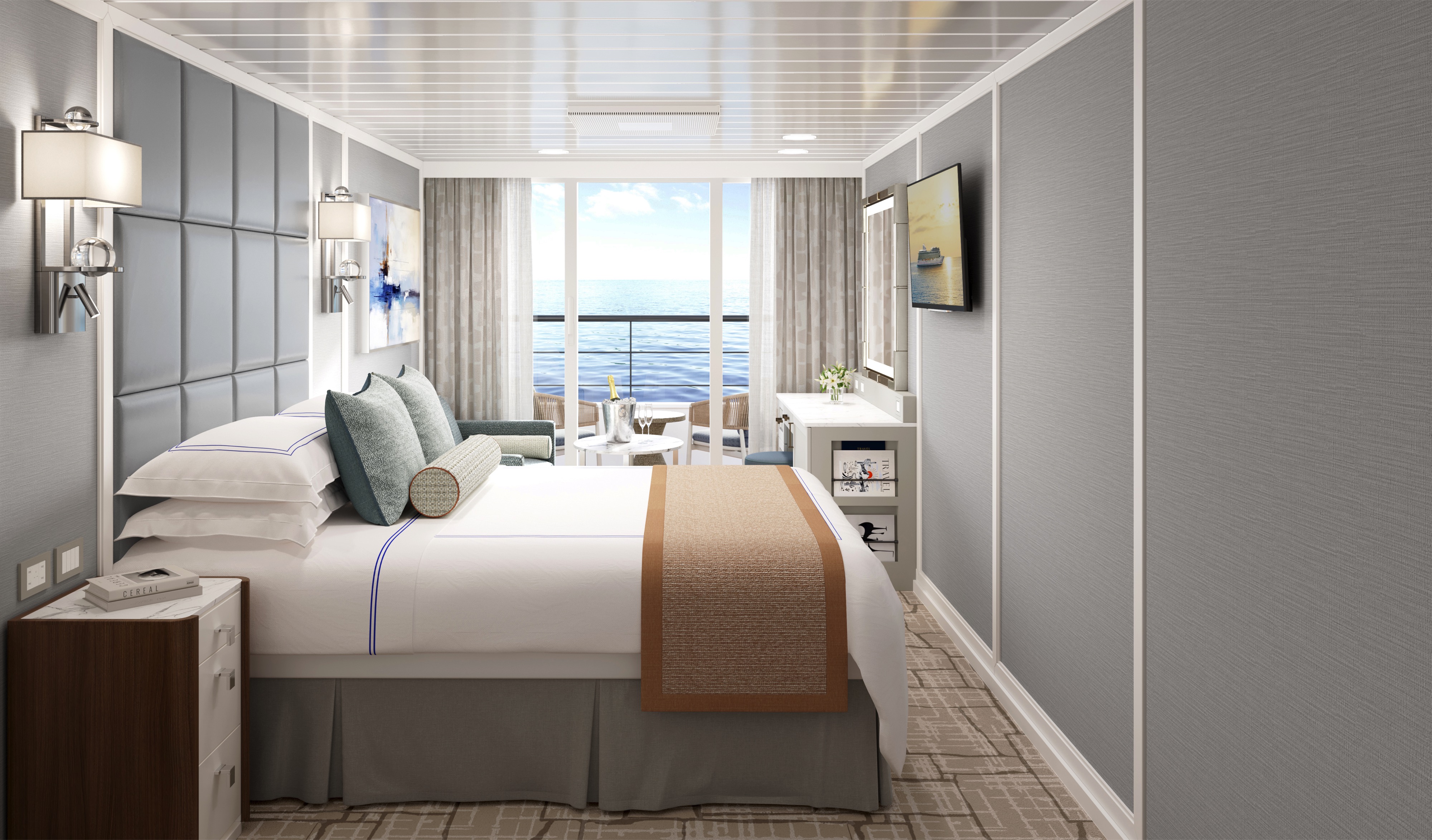
Suite

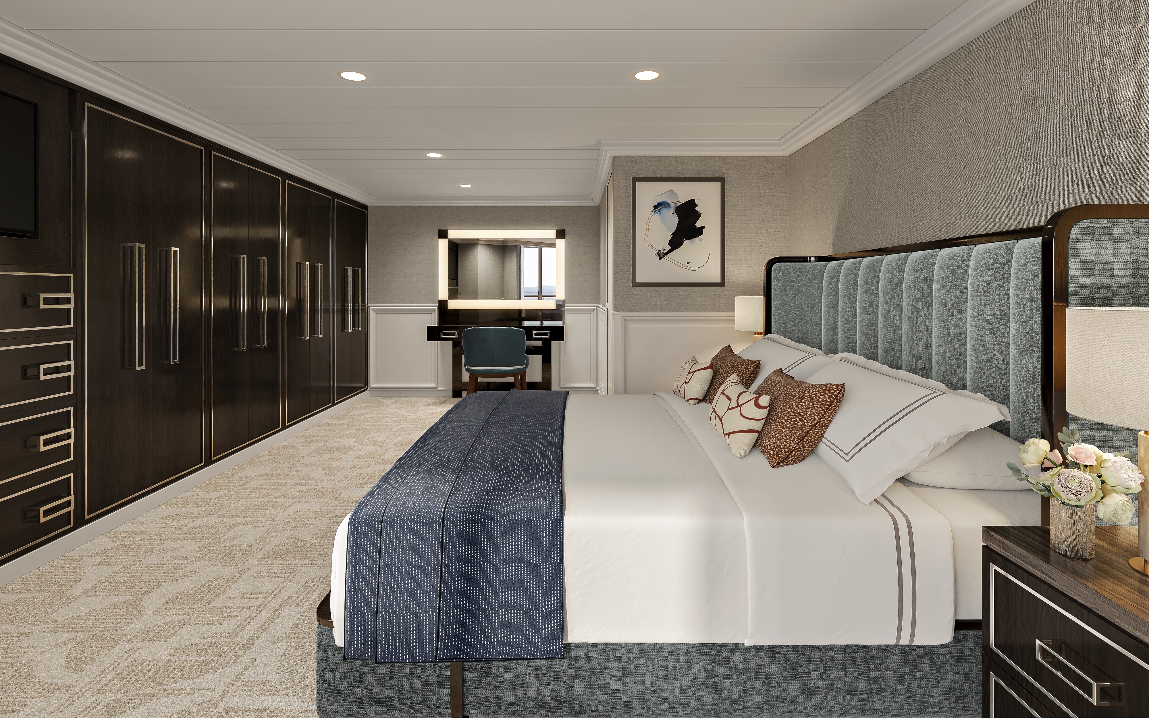
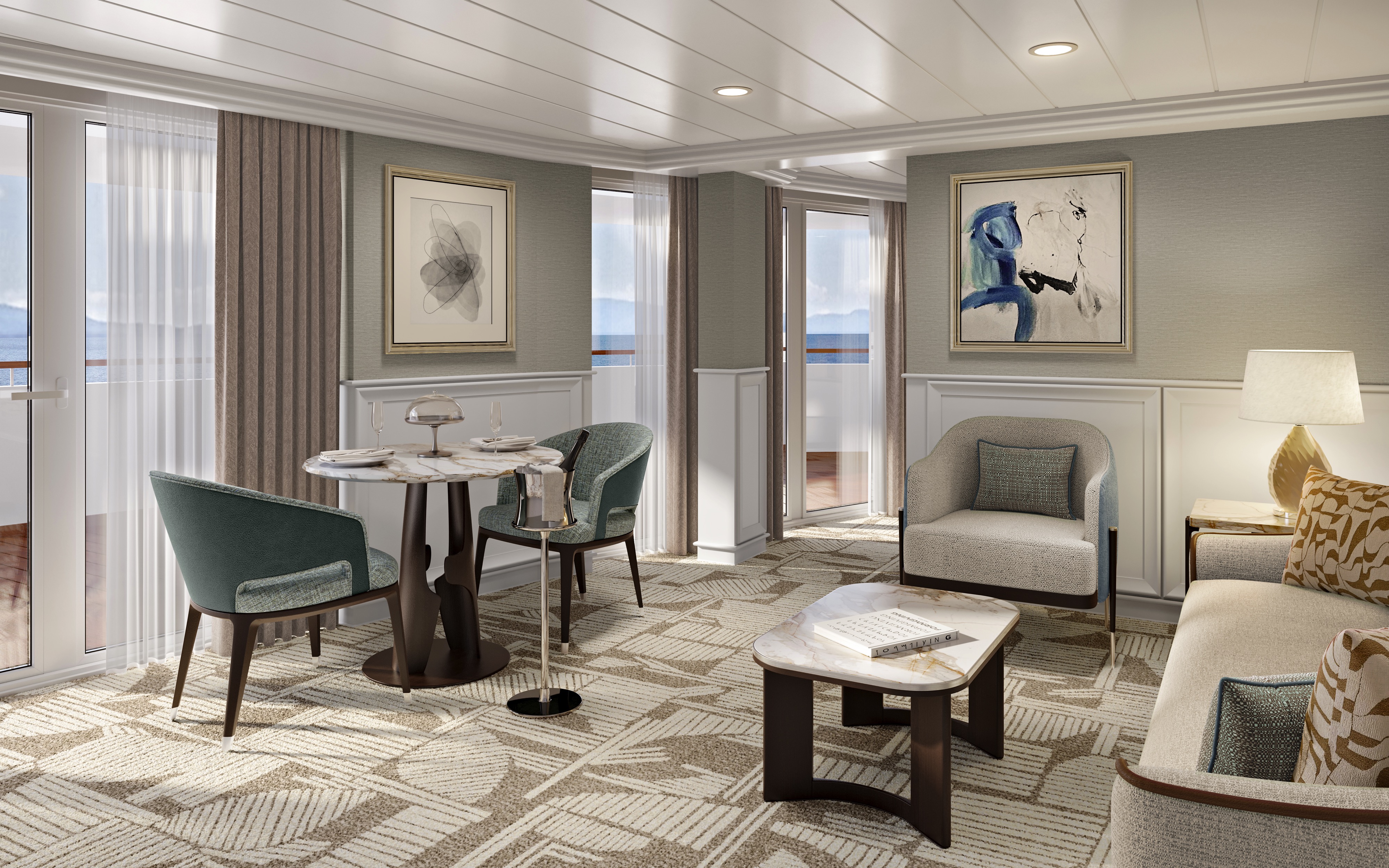
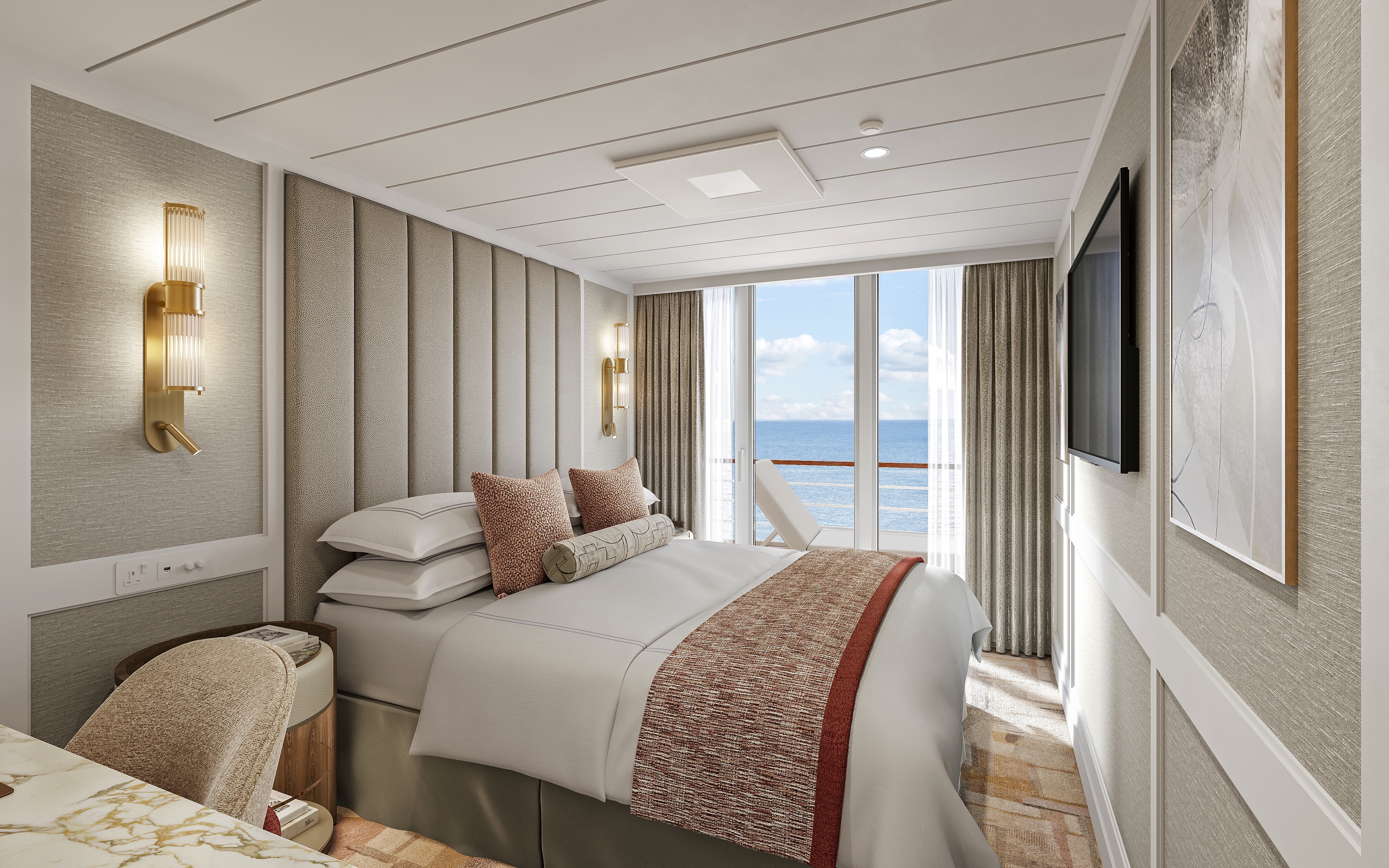
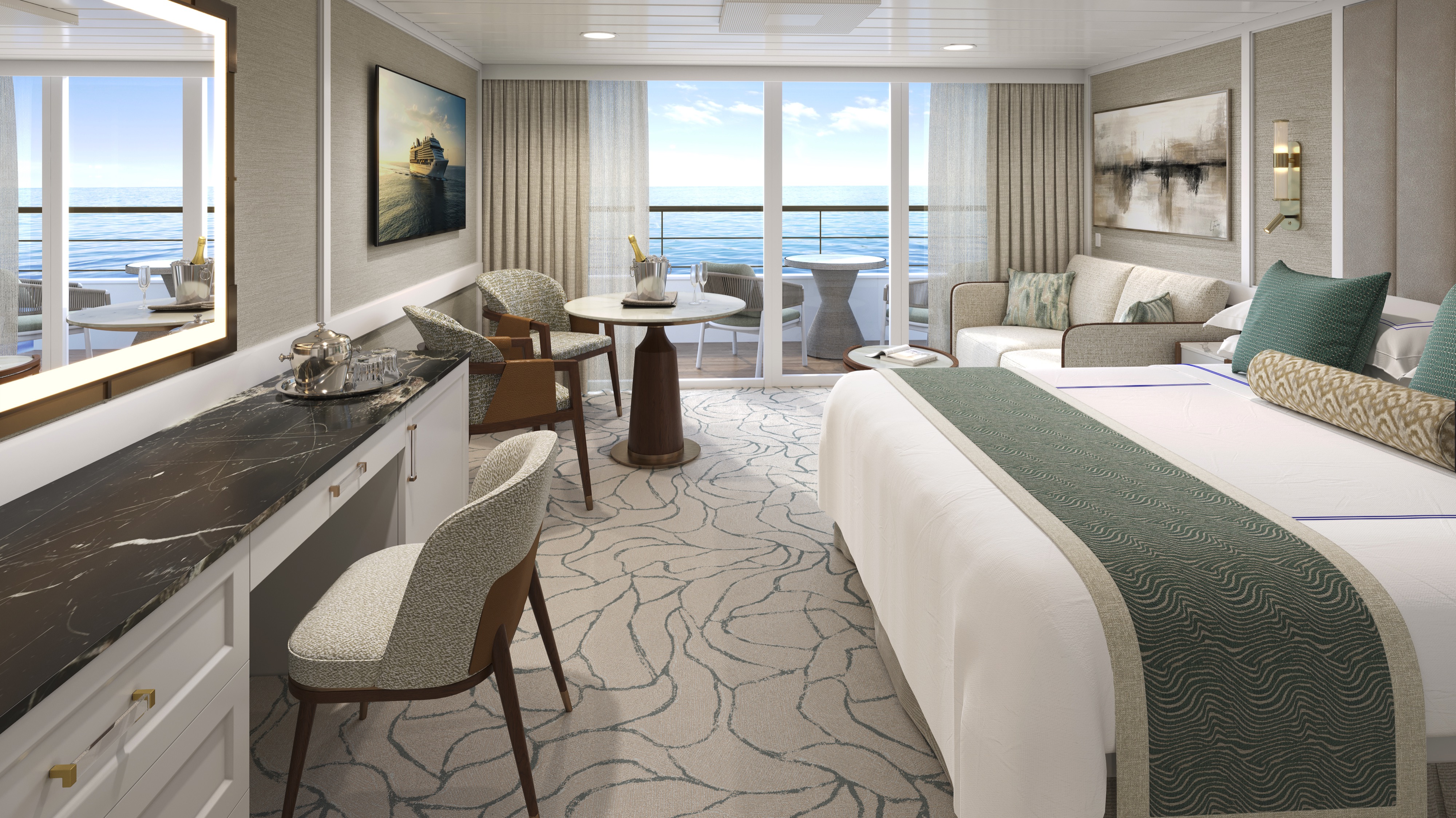
The most expansive accommodations aboard Oceania Aurelia, the six Owner’s Suites have been conceived as private residences at sea. The design brings together a gracious living and dining area, a separate primary bedroom and a broad teak veranda that extends the suite outdoors. Inside, carefully selected furnishings and a palette of natural tones inspired by sand, stone and sea create an atmosphere that feels calm and comfortably residential. The primary bedroom offers a retreat complemented by a bathroom with luxury stone finishes and an oversized shower. Dedicated Butler service completes an experience designed for exceptional comfort and personal attention.

Owner's Suite Privileges

  • Priority luggage delivery
  • Private embarkation day lunch in Toscana
  • In-suite bar setup with 6 full-size bottles of your choice of either wine or spirits from our suite beverage menu
  • In-suite illy® coffee maker and pods
  • Fresh fruit basket upon request
  • Exclusive pillow menu
  • Laundry service - up to 3 bags per stateroom
  • Butler service for the ultimate pampering and indulgences
  • Welcome bottle of Champagne
  • Priority online specialty restaurant reservations
  • Oceania Cruises logo tote bag
  • Cashmere lap blankets, perfect for relaxing or snuggling
  • Course-by-course in-suite dining from any of our specialty restaurants
  • Assistance with onboard dining reservations
  • Last-minute luggage collection
  • Packing and unpacking upon request
  • Garment pressing
  • Shoesine service
  • Gourmet afternoon canapés upon request
  • Additional personalized services upon request

+Certain limitations apply

1000 sq ft
Accommodates 2 guests
Owner's Suite

Oceania Aurelia

Oceania Aurelia

Client testimonials

I have worked with Lore Doick for more than 20 years, and she has booked over 30 cruises for me. Her expertise, care, and attention to every travel detail have made her an invaluable advisor and friend over the years.”

Tina B.

We are now in our second generation working with Cheri Ozimac at Tully Luxury Travel. From Antarctica to Greece, she has handled every detail with expertise, responsiveness, and care…

Earl M.

My wife and I have worked with Tully since 2007, and Kit Neil and her team went far beyond expectations while helping us navigate multiple cruise and flight cancellations. Their advocacy, care, and support during a difficult time were extraordinary.

Carri F.

Cheri Ozimac organized our Seabourn cruise flawlessly, from the hotel recommendation to every travel arrangement. She was responsive, attentive, and an excellent advocate throughout the process…

Cyn S.

We discovered Tully Luxury Travel after years of booking cruises through US agents and were impressed by their competitive pricing, exceptional service, and Canadian based support. Their team is always available, offers excellent value, and makes booking the right cruise seamless.

Peter C.

GoogleAverage Customer Rating:

The Tully Difference

Why travel with us


Tully Luxury Travel was built on access, discretion, and trust. For our clients, that means ease at every step, with distinctions that turn exceptional voyages into defining moments.

Recognized expertise

A renowned agency worldwide in luxury land and small-ship cruising, consistently trusted by the industry’s most prestigious brands.